Transport Functions
Rail
Road
Multimodal
Hub Profile
Place type
Populated place
Region
Missouri
Population
486
Time zone
America/Chicago
Elevation
76 m
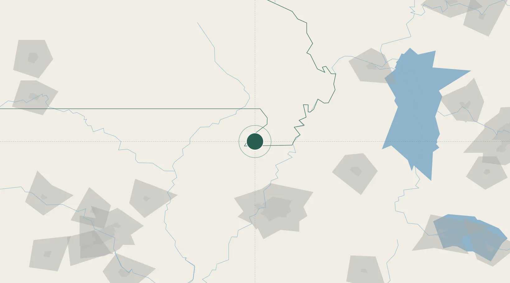
Location
Nearby Logistics Neighbours
Cities
- 1Leachville13 km
- 2Marmaduke19 km
- 3Dell29 km
- 4Holland33 km
- 5Steele36 km
Ports
- 1Port Of Memphis110 km
- 2Mobile628 km
- 3Madisonville628 km
- 4Baton Rouge629 km
- 5Biloxi643 km
Airports
Trade Zones
- 1FTZ No. 283 West Tennessee61 km
- 2FTZ No. 273 West Memphis101 km
- 3FTZ No. 077 Memphis102 km
- 4FTZ No. 223 Memphis103 km
- 5FTZ No. 262 Southaven124 km
DatabookThe Record of Consolidated Knowledge
United States beyond logistics?