Transport Functions
Rail
Road
Multimodal
Hub Profile
Place type
Populated place
Region
Missouri
Population
220
Time zone
America/Chicago
Elevation
78 m
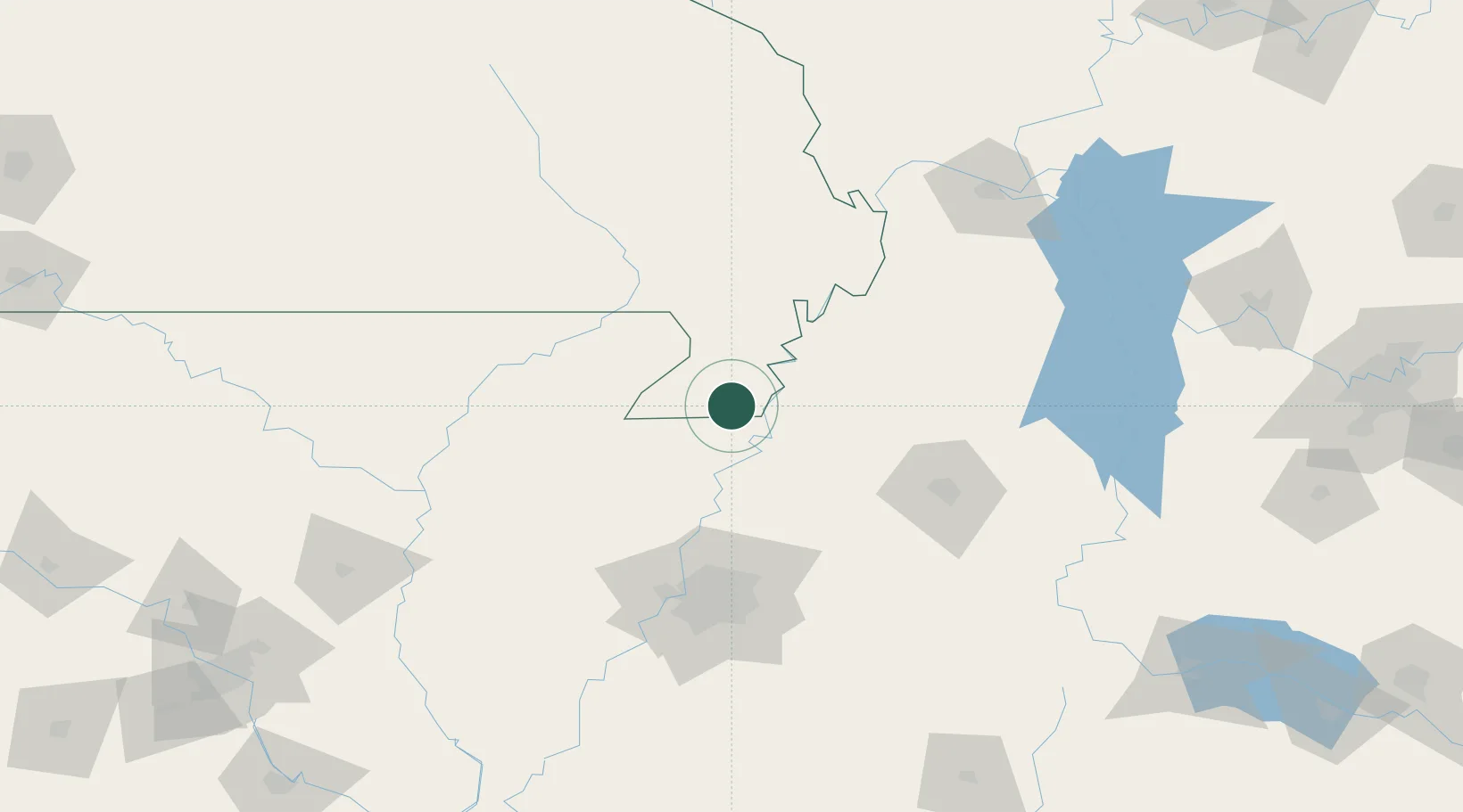
Location
Nearby Logistics Neighbours
Cities
- 1Steele5 km
- 2Hayti23 km
- 3Dell27 km
- 4Arbyrd33 km
- 5Leachville37 km
Ports
- 1Port Of Memphis113 km
- 2Mobile618 km
- 3Madisonville629 km
- 4Baton Rouge635 km
- 5Biloxi637 km
Airports
Trade Zones
- 1FTZ No. 283 West Tennessee38 km
- 2FTZ No. 223 Memphis105 km
- 3FTZ No. 273 West Memphis105 km
- 4FTZ No. 077 Memphis108 km
- 5FTZ No. 262 Southaven123 km
DatabookThe Record of Consolidated Knowledge
United States beyond logistics?