UN/LOCODE hub · United States
USPGI
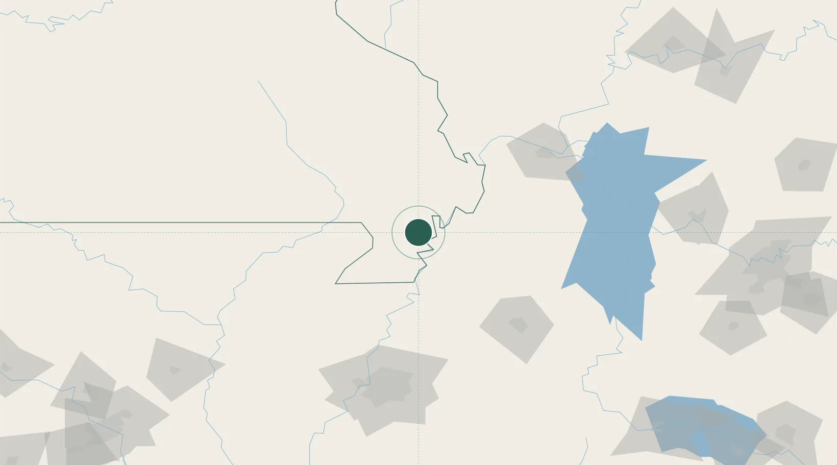
Portageville
36.4167°, -89.6833°
3,146
Population
3
Transport functions
Transport Functions
Rail
Road
Multimodal
Hub Profile
Place type
Populated place
Region
Missouri
Population
3,146
Time zone
America/Chicago
Elevation
87 m
Location
Nearby Logistics Neighbours
Cities
- 1Gideon21 km
- 2Hayti21 km
- 3New Madrid24 km
- 4Parma25 km
- 5Bernie38 km
Ports
- 1Port Of Memphis156 km
- 2Gary613 km
- 3Indiana Harbor615 km
- 4Calumet Harbor620 km
- 5Chicago634 km
Airports
Trade Zones
- 1FTZ No. 283 West Tennessee74 km
- 2FTZ No. 294 Western Kentucky122 km
- 3FTZ No. 223 Memphis148 km
- 4FTZ No. 273 West Memphis149 km
- 5FTZ No. 077 Memphis152 km
DatabookThe Record of Consolidated Knowledge
United States beyond logistics?