Transport Functions
Port
Road
Hub Profile
Place type
Populated place
Region
California
Population
391
Time zone
America/Los_Angeles
Elevation
14 m
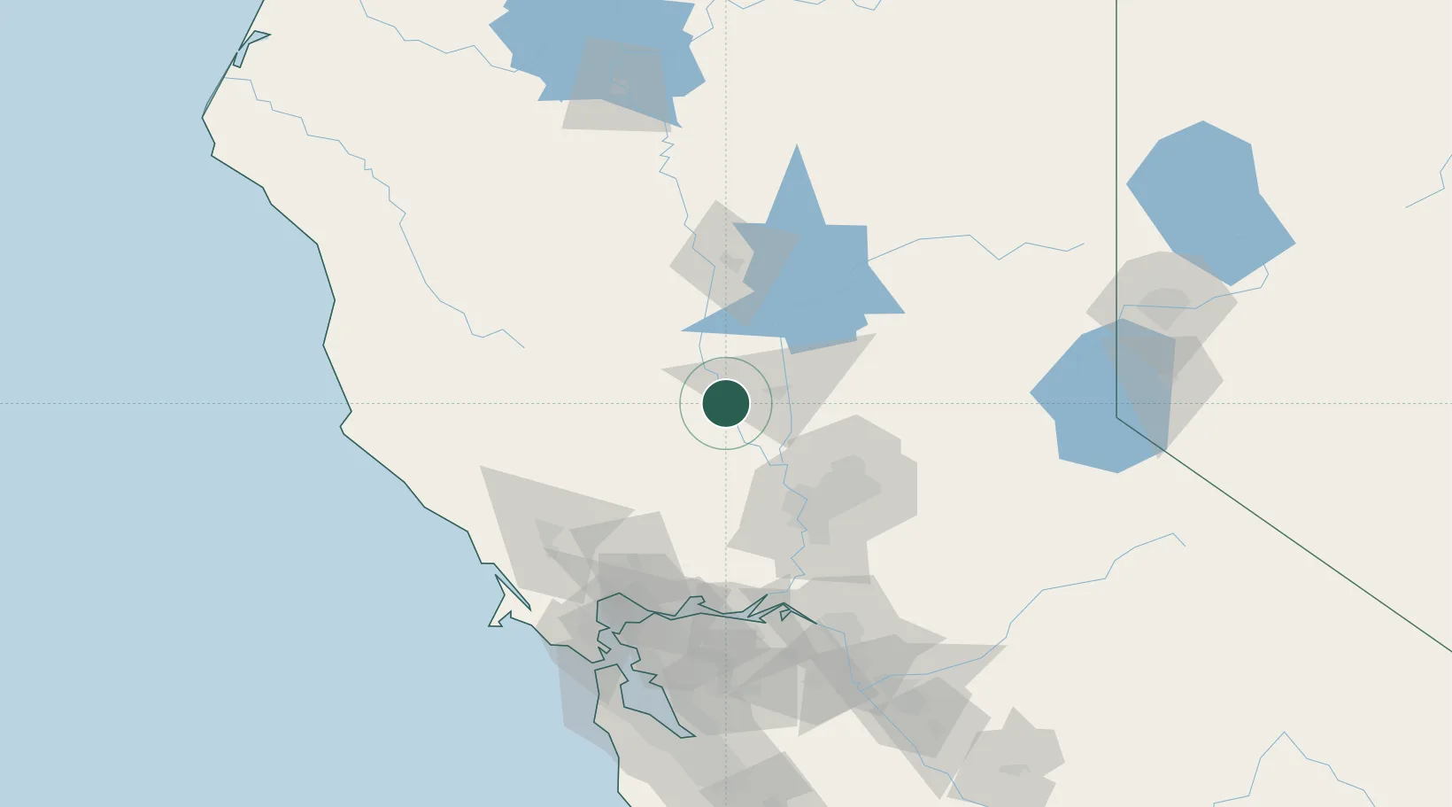
Location
Nearby Logistics Neighbours
Cities
- 1Beale Air Force Base22 km
- 2Williams25 km
- 3Sunset29 km
- 4Olivehurst29 km
- 5Live Oak29 km
Ports
- 1Sacramento63 km
- 2Courtland86 km
- 3Walnut Grove98 km
- 4Isleton103 km
- 5Rio Vista103 km
Airports
- 1Yuba County Airport27 km
- 2Beale Air Force Base39 km
- 3Sacramento International Airport48 km
- 4McClellan Airfield61 km
- 5Sacramento Executive Airport70 km
Trade Zones
- 1FTZ No. 143 West Sacramento62 km
- 2FTZ No. 231 Stockton133 km
- 3FTZ No. 056 Oakland144 km
- 4FTZ No. 003 San Francisco148 km
- 5FTZ No. 126 Sparks189 km
DatabookThe Record of Consolidated Knowledge
United States beyond logistics?