UN/LOCODE hub · United States
USZA4
Beale Air Force Base
39.2167°, -121.7167°
1,319
Population
1
Transport functions
Transport Functions
Multimodal
Hub Profile
Place type
Populated place
Region
California
Population
1,319
Time zone
America/Los_Angeles
Elevation
60 m
Location
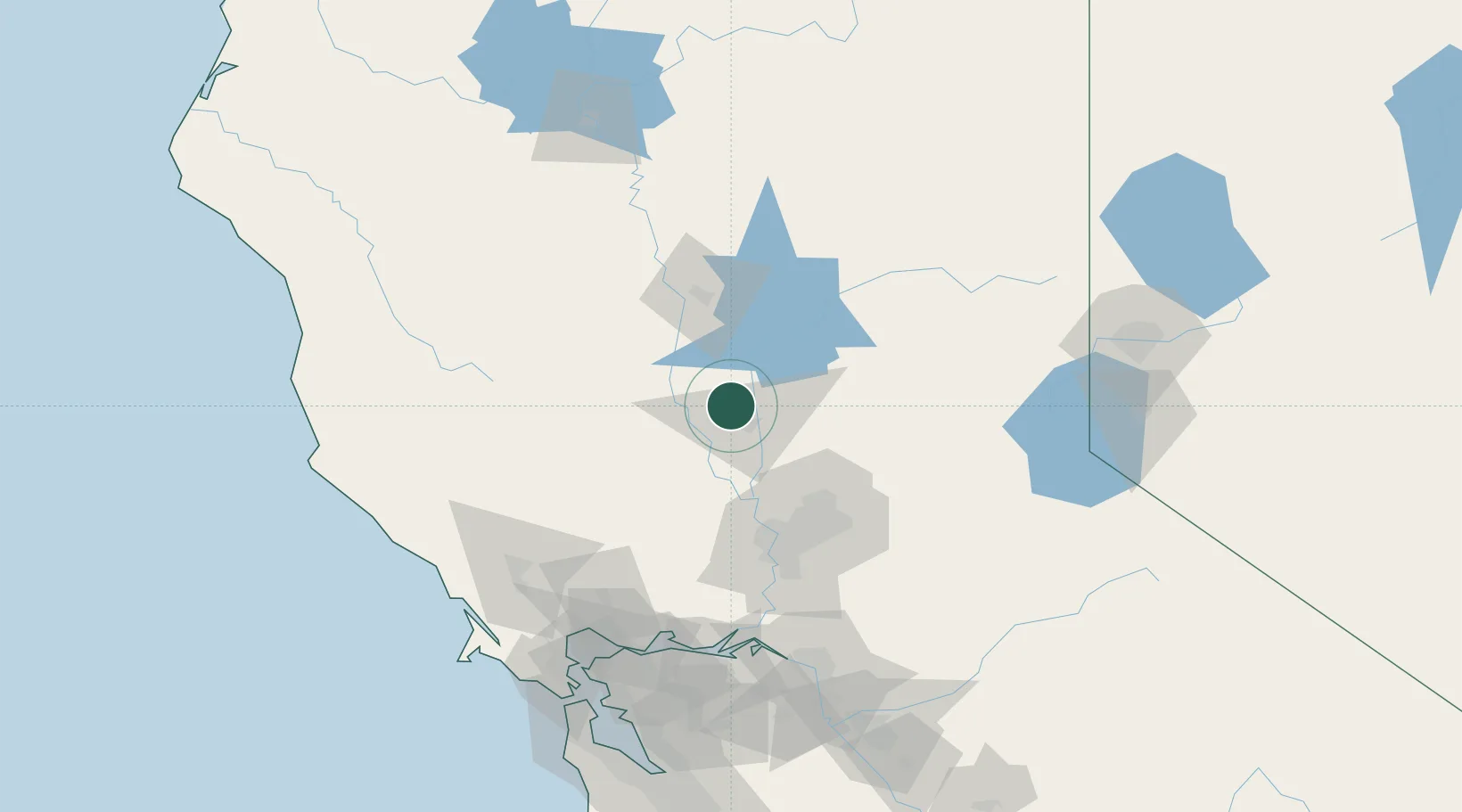
Nearby Logistics Neighbours
Cities
- 1Sunset7 km
- 2Live Oak7 km
- 3Gridley17 km
- 4Olivehurst21 km
- 5Grimes22 km
Ports
- 1Sacramento73 km
- 2Courtland99 km
- 3Walnut Grove111 km
- 4Isleton117 km
- 5Rio Vista119 km
Airports
- 1Yuba County Airport18 km
- 2Beale Air Force Base26 km
- 3Sacramento International Airport59 km
- 4McClellan Airfield67 km
- 5Sacramento Executive Airport81 km
Trade Zones
- 1FTZ No. 143 West Sacramento73 km
- 2FTZ No. 231 Stockton145 km
- 3FTZ No. 056 Oakland164 km
- 4FTZ No. 003 San Francisco169 km
- 5FTZ No. 126 Sparks171 km
DatabookThe Record of Consolidated Knowledge
United States beyond logistics?