UN/LOCODE hub · United States
USOVH
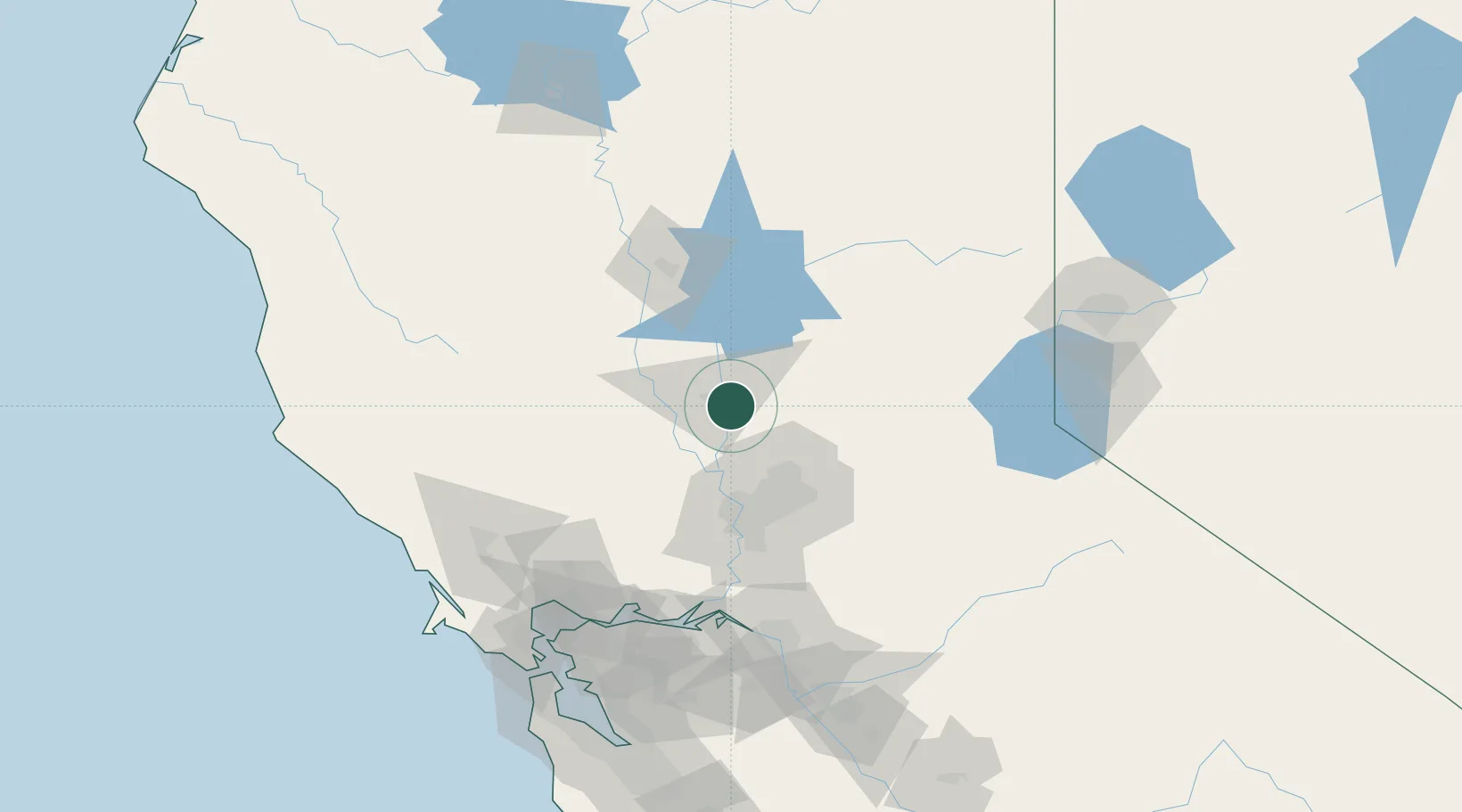
Olivehurst
39.0833°, -121.5500°
13,656
Population
3
Transport functions
Transport Functions
Rail
Road
Multimodal
Hub Profile
Place type
Populated place
Region
California
Population
13,656
Time zone
America/Los_Angeles
Elevation
20 m
Location
Nearby Logistics Neighbours
Cities
- 1Sunset20 km
- 2Beale Air Force Base21 km
- 3Live Oak23 km
- 4Grimes29 km
- 5Pleasant Grove30 km
Ports
- 1Sacramento56 km
- 2Courtland83 km
- 3Walnut Grove95 km
- 4Isleton102 km
- 5Rio Vista105 km
Airports
- 1Yuba County Airport2 km
- 2Beale Air Force Base11 km
- 3Sacramento International Airport43 km
- 4McClellan Airfield48 km
- 5Sacramento Mather Airport63 km
Trade Zones
- 1FTZ No. 143 West Sacramento56 km
- 2FTZ No. 231 Stockton127 km
- 3FTZ No. 056 Oakland155 km
- 4FTZ No. 003 San Francisco161 km
- 5FTZ No. 126 Sparks161 km
DatabookThe Record of Consolidated Knowledge
United States beyond logistics?