UN/LOCODE hub · United States
USLO2
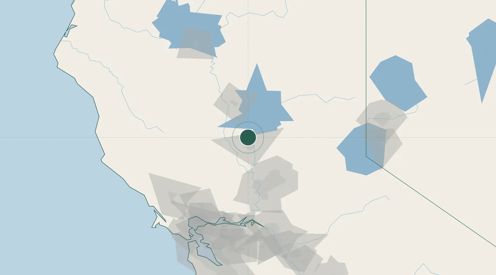
Live Oak
39.2667°, -121.6667°
8,531
Population
2
Transport functions
Transport Functions
Rail
Road
Hub Profile
Place type
Populated place
Region
California
Population
8,531
Time zone
America/Los_Angeles
Elevation
24 m
Location
Nearby Logistics Neighbours
Cities
- 1Sunset2 km
- 2Beale Air Force Base7 km
- 3Gridley12 km
- 4Olivehurst23 km
- 5Richvale25 km
Ports
- 1Sacramento77 km
- 2Courtland104 km
- 3Walnut Grove116 km
- 4Isleton123 km
- 5Rio Vista124 km
Airports
- 1Yuba County Airport21 km
- 2Beale Air Force Base25 km
- 3Sacramento International Airport64 km
- 4McClellan Airfield71 km
- 5Sacramento Executive Airport85 km
Trade Zones
- 1FTZ No. 143 West Sacramento77 km
- 2FTZ No. 231 Stockton149 km
- 3FTZ No. 126 Sparks165 km
- 4FTZ No. 056 Oakland171 km
- 5FTZ No. 003 San Francisco175 km
DatabookThe Record of Consolidated Knowledge
United States beyond logistics?