UN/LOCODE hub · United States
USSNC

Sunset

39.2500°, -121.6500°
3
Transport functions

Transport Functions

Rail
Road
Multimodal
UN/LOCODE

Hub Profile

Place type
Populated place
GeoNames
Region
California
GeoNames
Time zone
America/Los_Angeles
GeoNames
Elevation
23 m
GeoNames

Location

Location of USSNC
Natural Earth 10m (public domain) · California · USSNC · 39.25, -121.65GoogleOSMYandex

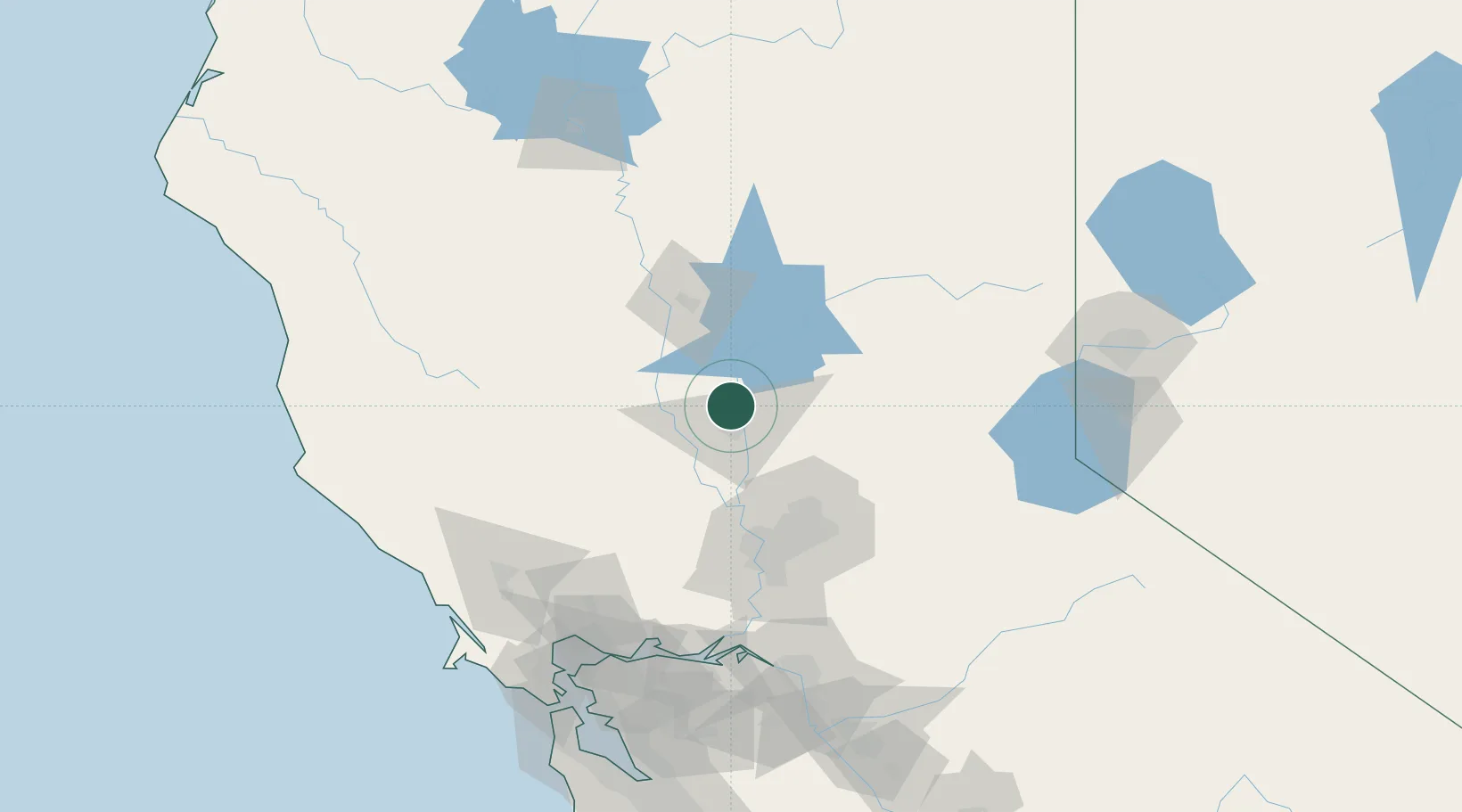
Nearby Logistics Neighbours

Cities
  1. 1Live Oak2 km
  2. 2Beale Air Force Base7 km
  3. 3Gridley14 km
  4. 4Olivehurst20 km
  5. 5Richvale27 km
Nearest neighbours — logibook spatial index (haversine) over the source coordinates
Ports
  1. 1Sacramento75 km
  2. 2Courtland102 km
  3. 3Walnut Grove114 km
  4. 4Isleton121 km
  5. 5Rio Vista122 km
Nearest neighbours — logibook spatial index (haversine) over the source coordinates
Airports
  1. 1Yuba County Airport18 km
  2. 2Beale Air Force Base22 km
  3. 3Sacramento International Airport62 km
  4. 4McClellan Airfield68 km
  5. 5Sacramento Mather Airport83 km
Nearest neighbours — logibook spatial index (haversine) over the source coordinates
Trade Zones
  1. 1FTZ No. 143 West Sacramento75 km
  2. 2FTZ No. 231 Stockton147 km
  3. 3FTZ No. 126 Sparks164 km
  4. 4FTZ No. 056 Oakland170 km
  5. 5FTZ No. 003 San Francisco174 km
Nearest neighbours — logibook spatial index (haversine) over the source coordinates
DatabookThe Record of Consolidated Knowledge
United States beyond logistics?
Browse databook

All Sources

LocationsUN/LOCODE
UN/LOCODE — free
Portsthe NGA World Port Index
Public domain (US gov)
AirportsOurAirports
Public domain
Trade Zonesthe World Bank SEZ database
CC BY 4.0
Trade ZonesOpen Zone Map
CC BY
← United States locations