Transport Functions
Port
Rail
Road
Multimodal
Hub Profile
Place type
Populated place
Region
Virginia
Population
219
Time zone
America/New_York
Elevation
210 m
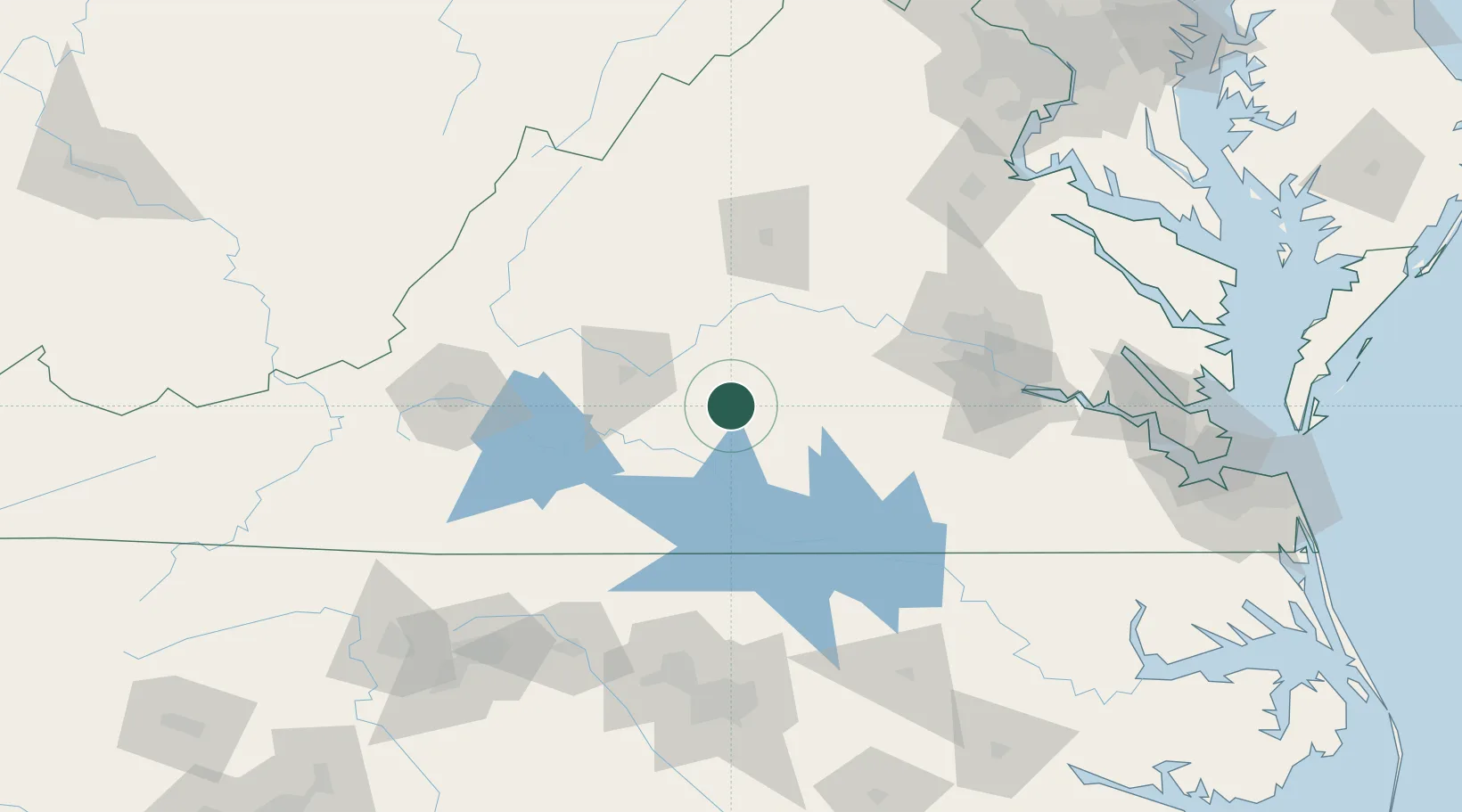
Location
Nearby Logistics Neighbours
Cities
- 1Prospect12 km
- 2Harrisburg27 km
- 3Keysville29 km
- 4Brookneal33 km
- 5Madison Heights45 km
Ports
- 1Richmond115 km
- 2Fredericksburg158 km
- 3West Point168 km
- 4Yorktown192 km
- 5Newport News201 km
Airports
Trade Zones
- 1FTZ No. 207 Richmond102 km
- 2FTZ No. 185 Culpeper County149 km
- 3FTZ No. 093 Raleigh Durham151 km
- 4FTZ No. 230 Piedmont Triad Area177 km
- 5FTZ No. 238 Dublin181 km
DatabookThe Record of Consolidated Knowledge
United States beyond logistics?