Transport Functions
Multimodal
Hub Profile
Place type
Populated place
Region
Virginia
Time zone
America/New_York
Elevation
167 m
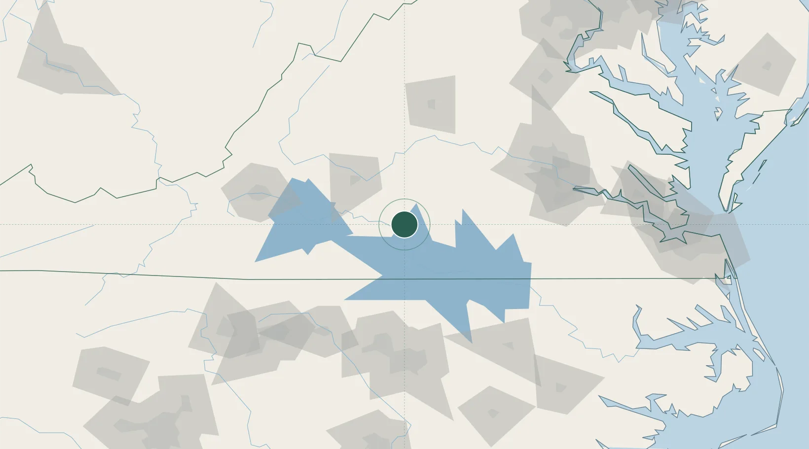
Location
Nearby Logistics Neighbours
Cities
- 1Brookneal18 km
- 2Clover, Halifax20 km
- 3Keysville22 km
- 4Crystal Hill24 km
- 5Pamplin27 km
Ports
- 1Richmond130 km
- 2West Point181 km
- 3Fredericksburg182 km
- 4Yorktown200 km
- 5Newport News204 km
Airports
Trade Zones
- 1FTZ No. 207 Richmond118 km
- 2FTZ No. 093 Raleigh Durham125 km
- 3FTZ No. 230 Piedmont Triad Area156 km
- 4FTZ No. 238 Dublin175 km
- 5FTZ No. 185 Culpeper County176 km
DatabookThe Record of Consolidated Knowledge
United States beyond logistics?