UN/LOCODE hub · United States
USCT4
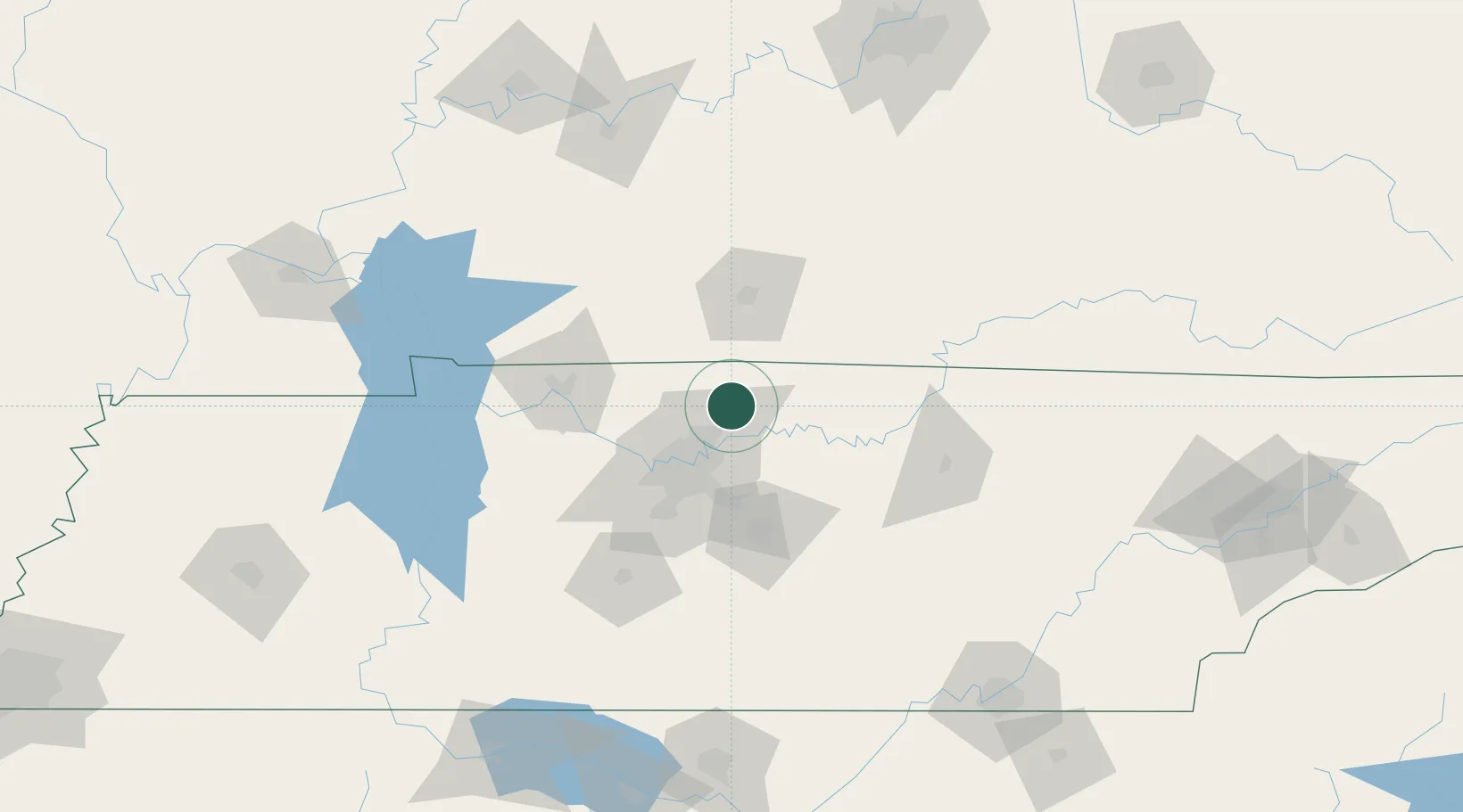
Cottontown
36.4500°, -86.5333°
367
Population
2
Transport functions
Transport Functions
Road
Multimodal
Hub Profile
Place type
Populated place
Region
Tennessee
Population
367
Time zone
America/Chicago
Elevation
174 m
Location
Nearby Logistics Neighbours
Cities
- 1White House11 km
- 2Orlinda23 km
- 3Greenbrier, Robertson24 km
- 4Mount Juliet28 km
- 5Hermitage29 km
Ports
- 1Port Of Memphis362 km
- 2Gary579 km
- 3Indiana Harbor585 km
- 4Michigan City588 km
- 5Calumet Harbor594 km
Airports
Trade Zones
- 1FTZ No. 078 Nashville56 km
- 2FTZ No. 134 Chattanooga183 km
- 3FTZ No. 294 Western Kentucky195 km
- 4FTZ No. 177 Evansville197 km
- 5FTZ No. 083 Huntsville202 km
DatabookThe Record of Consolidated Knowledge
United States beyond logistics?