UN/LOCODE hub · United States
USGBI

Greenbrier, Robertson

36.4167°, -86.8000°
2
Transport functions

Transport Functions

Road
Multimodal
UN/LOCODE

Hub Profile

Region
TN
GeoNames

Location

Location of USGBI
Natural Earth 10m (public domain) · TN · USGBI · 36.42, -86.80GoogleOSMYandex

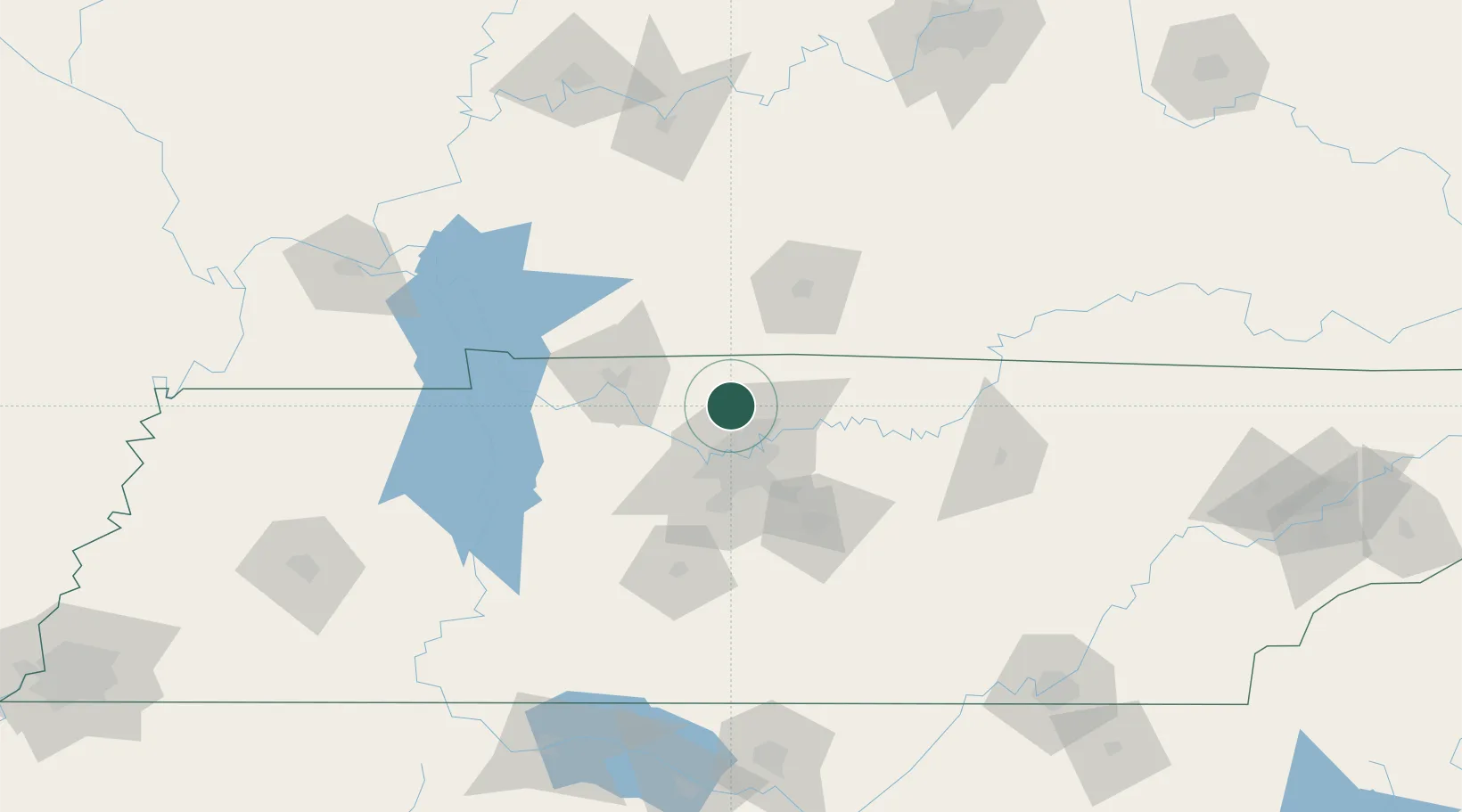
Nearby Logistics Neighbours

Cities
  1. 1White House15 km
  2. 2Pleasant View, Cheatham21 km
  3. 3Orlinda22 km
  4. 4Cottontown24 km
  5. 5Nashville29 km
Nearest neighbours — logibook spatial index (haversine) over the source coordinates
Ports
  1. 1Port Of Memphis339 km
  2. 2Gary580 km
  3. 3Indiana Harbor586 km
  4. 4Michigan City591 km
  5. 5Calumet Harbor594 km
Nearest neighbours — logibook spatial index (haversine) over the source coordinates
Airports
  1. 1Nashville International Airport34 km
  2. 2Smyrna Airport52 km
  3. 3Campbell Army Airfield (Fort Campbell)68 km
  4. 4Bowling Green Warren County Regional Airport70 km
  5. 5Owensboro Daviess County Airport151 km
Nearest neighbours — logibook spatial index (haversine) over the source coordinates
Trade Zones
  1. 1FTZ No. 078 Nashville35 km
  2. 2FTZ No. 294 Western Kentucky175 km
  3. 3FTZ No. 177 Evansville190 km
  4. 4FTZ No. 134 Chattanooga195 km
  5. 5FTZ No. 265 Conroe (Montgomery County)196 km
Nearest neighbours — logibook spatial index (haversine) over the source coordinates
DatabookThe Record of Consolidated Knowledge
United States beyond logistics?
Browse databook

All Sources

LocationsUN/LOCODE
UN/LOCODE — free
Portsthe NGA World Port Index
Public domain (US gov)
AirportsOurAirports
Public domain
Trade Zonesthe World Bank SEZ database
CC BY 4.0
Trade ZonesOpen Zone Map
CC BY
← United States locations