UN/LOCODE hub · United States
USWHU
White House
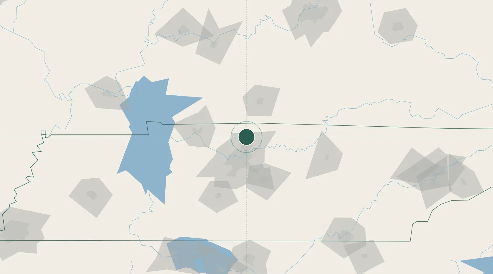
36.4667°, -86.6500°
11,226
Population
2
Transport functions
Transport Functions
Road
Multimodal
Hub Profile
Place type
Populated place
Region
Tennessee
Population
11,226
Time zone
America/Chicago
Elevation
263 m
Location
Nearby Logistics Neighbours
Cities
- 1Cottontown11 km
- 2Greenbrier, Robertson15 km
- 3Orlinda16 km
- 4Hermitage30 km
- 5Mount Juliet32 km
Ports
- 1Port Of Memphis353 km
- 2Gary576 km
- 3Indiana Harbor582 km
- 4Michigan City586 km
- 5Calumet Harbor590 km
Airports
Trade Zones
- 1FTZ No. 078 Nashville49 km
- 2FTZ No. 294 Western Kentucky185 km
- 3FTZ No. 177 Evansville190 km
- 4FTZ No. 134 Chattanooga191 km
- 5FTZ No. 265 Conroe (Montgomery County)203 km
DatabookThe Record of Consolidated Knowledge
United States beyond logistics?