Transport Functions
Road
Multimodal
Hub Profile
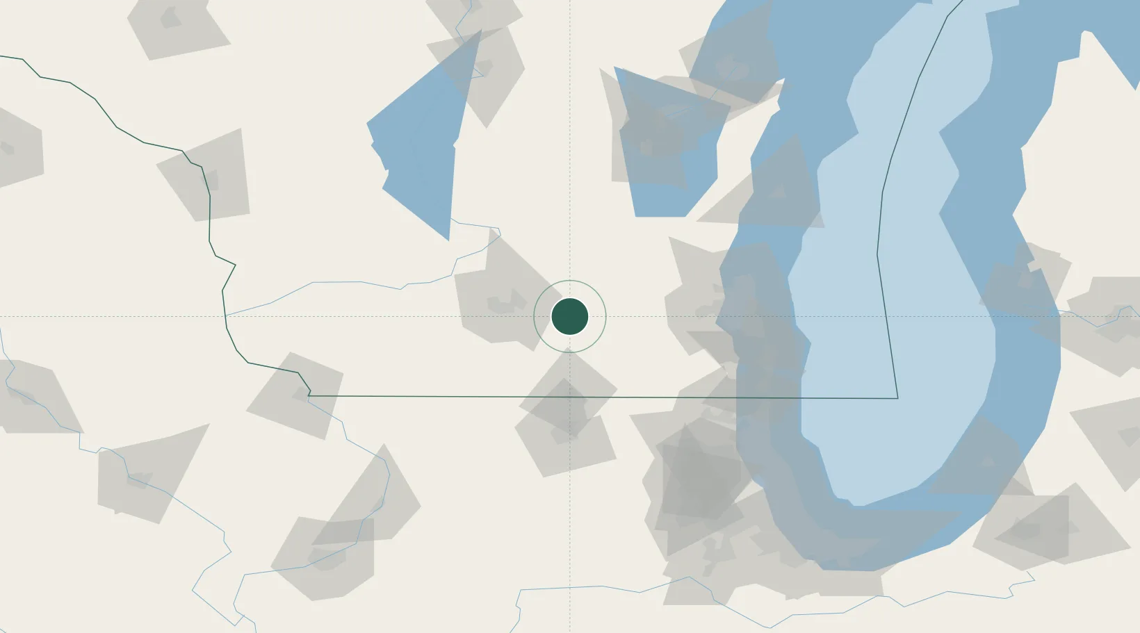
Place type
Populated place
Region
Minnesota
Time zone
America/Chicago
Elevation
413 m
Location
Nearby Logistics Neighbours
Cities
- 1Cambridge3 km
- 2Cottage Grove15 km
- 3Fort Atkinson18 km
- 4Marshall19 km
- 5McFarland22 km
Ports
- 1Milwaukee94 km
- 2Port Washington104 km
- 3Racine106 km
- 4Kenosha110 km
- 5Waukegan122 km
Airports
Trade Zones
DatabookThe Record of Consolidated Knowledge
United States beyond logistics?