UN/LOCODE hub · United States
USCG3
Cottage Grove
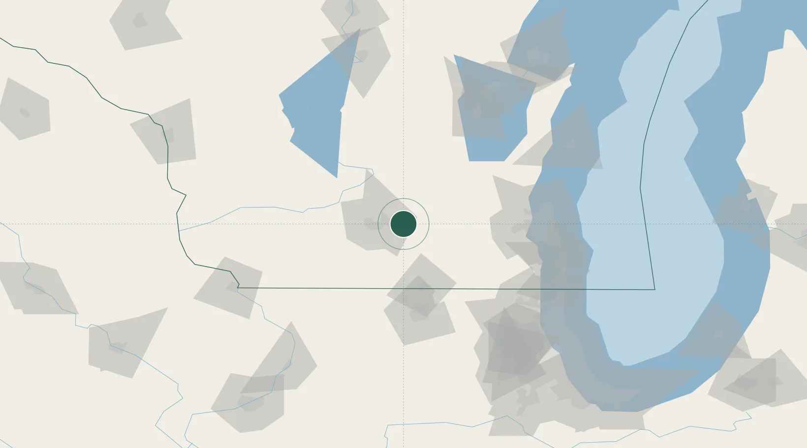
43.0667°, -89.2000°
6,854
Population
2
Transport functions
Transport Functions
Rail
Road
Hub Profile
Place type
Populated place
Region
Wisconsin
Population
6,854
Time zone
America/Chicago
Elevation
269 m
Location
Nearby Logistics Neighbours
Cities
- 1McFarland10 km
- 2Maple Bluff15 km
- 3Canyon15 km
- 4Marshall16 km
- 5Cambridge18 km
Ports
- 1Milwaukee107 km
- 2Port Washington114 km
- 3Racine121 km
- 4Kenosha125 km
- 5Waukegan137 km
Airports
Trade Zones
DatabookThe Record of Consolidated Knowledge
United States beyond logistics?