Transport Functions
Multimodal
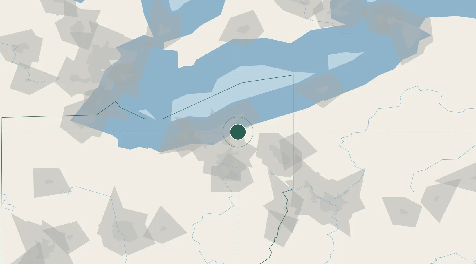
Hub Profile
Place type
Populated place
Region
Ohio
Time zone
America/New_York
Elevation
324 m
Location
Nearby Logistics Neighbours
Cities
- 1Moreland Hills9 km
- 2Mayfield, Cuyahoga11 km
- 3Woodmere12 km
- 4Shaker Heights17 km
- 5Glenwillow17 km
Airports
Trade Zones
- 1FTZ No. 040 Cleveland43 km
- 2FTZ No. 181 Akron Canton68 km
- 3FTZ No. 247 Erie124 km
- 4FTZ No. 033 Pittsburgh159 km
- 5Windsor - Essex Foreign Trade Zone168 km
DatabookThe Record of Consolidated Knowledge
United States beyond logistics?