Transport Functions
Road
Multimodal
Hub Profile
Place type
Provincial seat
Region
South Dakota
Population
1,325
Time zone
America/Chicago
Elevation
464 m
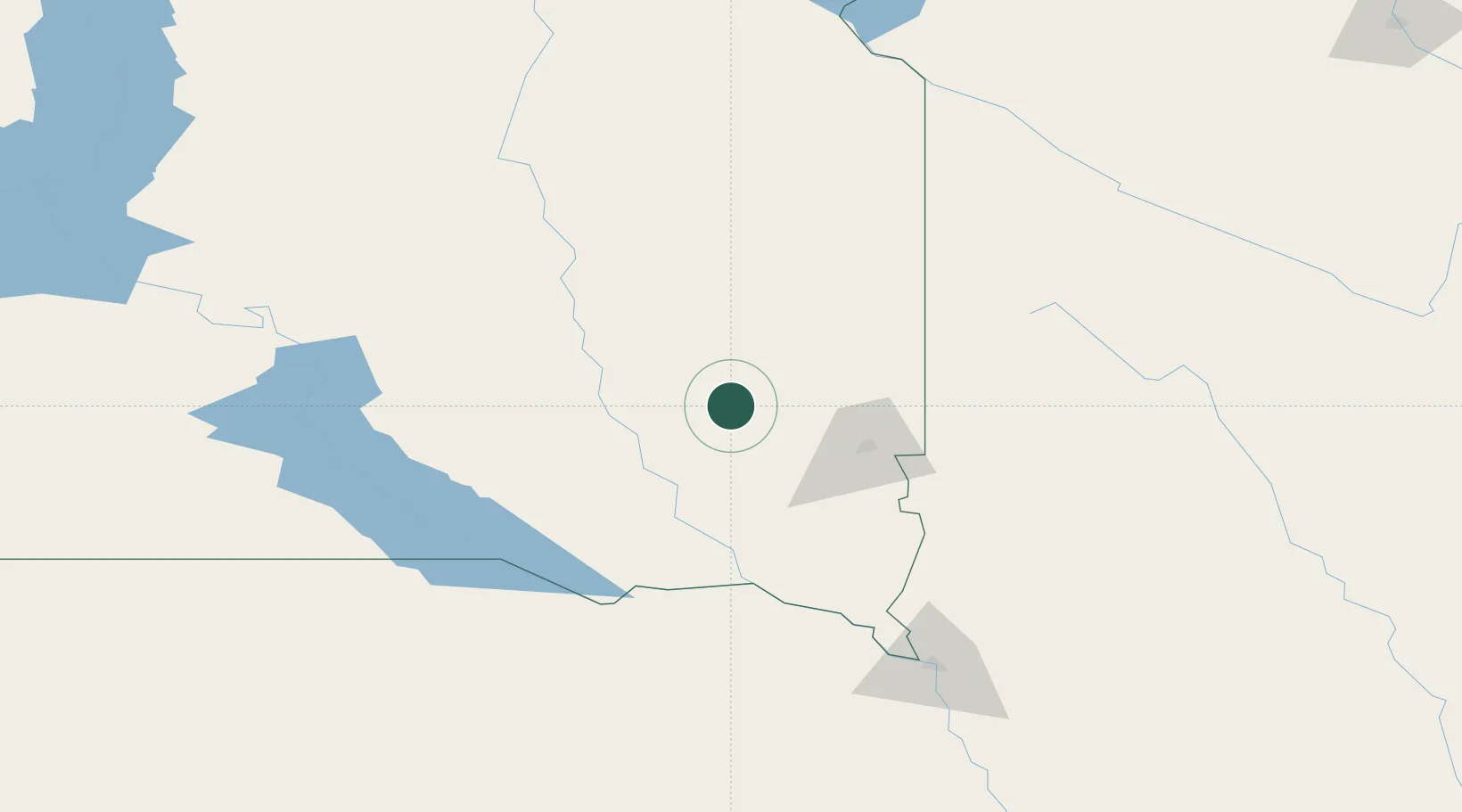
Location
Nearby Logistics Neighbours
Cities
- 1Bridgewater22 km
- 2Emery24 km
- 3Wentworth45 km
- 4Oldham56 km
- 5Parkston61 km
Ports
- 1Superior533 km
- 2Duluth534 km
- 3Two Harbors578 km
- 4Ashland602 km
- 5Washburn605 km
Airports
Trade Zones
- 1FTZ No. 220 Sioux Falls52 km
- 2FTZ No. 288 Northwest Iowa123 km
- 3FTZ No. 059 Lincoln329 km
- 4FTZ No. 267 Fargo349 km
- 5FTZ No. 119 Minneapolis-St. Paul357 km
DatabookThe Record of Consolidated Knowledge
United States beyond logistics?