Transport Functions
Rail
Road
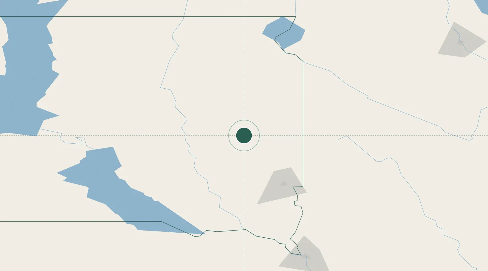
Hub Profile
Place type
Populated place
Region
South Dakota
Population
128
Time zone
America/Chicago
Elevation
525 m
Location
Nearby Logistics Neighbours
Ports
- 1Duluth493 km
- 2Superior494 km
- 3Two Harbors537 km
- 4Ashland567 km
- 5Washburn569 km
Airports
Trade Zones
- 1FTZ No. 220 Sioux Falls86 km
- 2FTZ No. 288 Northwest Iowa155 km
- 3FTZ No. 267 Fargo293 km
- 4FTZ No. 119 Minneapolis-St. Paul332 km
- 5FTZ No. 059 Lincoln384 km
DatabookThe Record of Consolidated Knowledge
United States beyond logistics?