Transport Functions
Rail
Road
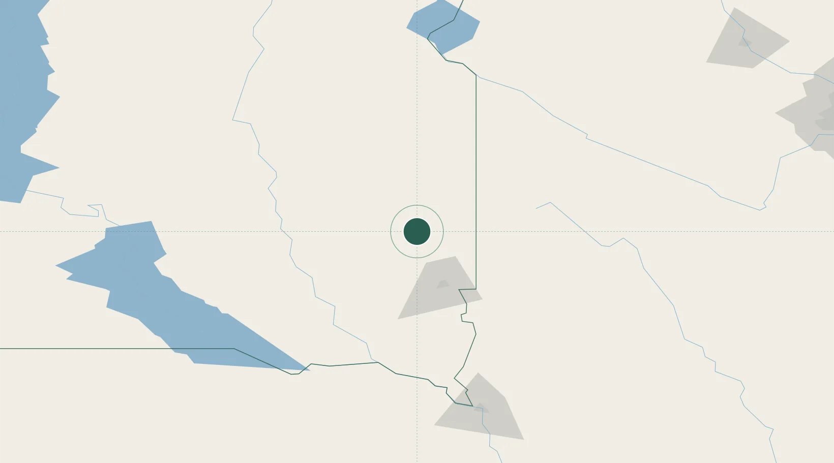
Hub Profile
Place type
Populated place
Region
South Dakota
Population
193
Time zone
America/Chicago
Elevation
518 m
Location
Nearby Logistics Neighbours
Ports
- 1Superior489 km
- 2Duluth489 km
- 3Two Harbors533 km
- 4Ashland558 km
- 5Washburn560 km
Airports
- 1Sioux Falls Regional Airport47 km
- 2Watertown Regional Airport105 km
- 3Huron Regional Airport111 km
- 4Chan Gurney Municipal Airport124 km
- 5Redwood Falls Municipal Airport161 km
Trade Zones
- 1FTZ No. 220 Sioux Falls50 km
- 2FTZ No. 288 Northwest Iowa115 km
- 3FTZ No. 119 Minneapolis-St. Paul314 km
- 4FTZ No. 267 Fargo319 km
- 5FTZ No. 059 Lincoln354 km
DatabookThe Record of Consolidated Knowledge
United States beyond logistics?