Transport Functions
Road
Multimodal
Hub Profile
Place type
Populated place
Region
Pennsylvania
Population
737
Time zone
America/New_York
Elevation
199 m
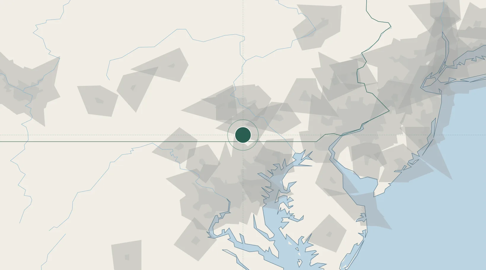
Location
Nearby Logistics Neighbours
Cities
- 1Spring Grove6 km
- 2McSherrystown14 km
- 3New Freedom15 km
- 4Abbottstown15 km
- 5Manchester19 km
Ports
- 1Baltimore65 km
- 2Havre De Grace72 km
- 3Annapolis97 km
- 4Washington D.C.107 km
- 5New Castle110 km
Airports
Trade Zones
DatabookThe Record of Consolidated Knowledge
United States beyond logistics?