UN/LOCODE hub · United States
USNFR
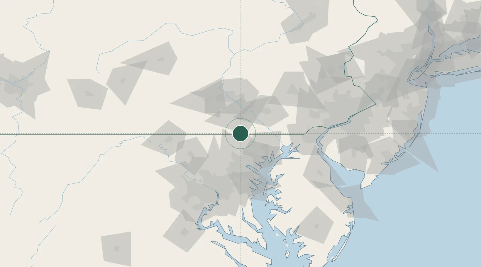
New Freedom
39.7333°, -76.7000°
4,585
Population
4
Transport functions
Transport Functions
Port
Rail
Road
Multimodal
Hub Profile
Place type
Populated place
Region
Pennsylvania
Population
4,585
Time zone
America/New_York
Elevation
250 m
Location
Nearby Logistics Neighbours
Cities
- 1Jefferson15 km
- 2Manchester18 km
- 3Spring Grove20 km
- 4McSherrystown27 km
- 5Abbottstown29 km
Ports
- 1Baltimore53 km
- 2Havre De Grace57 km
- 3Annapolis86 km
- 4New Castle97 km
- 5Wilmington98 km
Airports
Trade Zones
- 1FTZ No. 074 Baltimore52 km
- 2FTZ No. 073 BWI Airport62 km
- 3FTZ No. 147 Berks County84 km
- 4FTZ No. 099 Wilmington99 km
- 5FTZ No. 063 PrInce Georges County108 km
DatabookThe Record of Consolidated Knowledge
United States beyond logistics?