UN/LOCODE hub · United States
USHYT
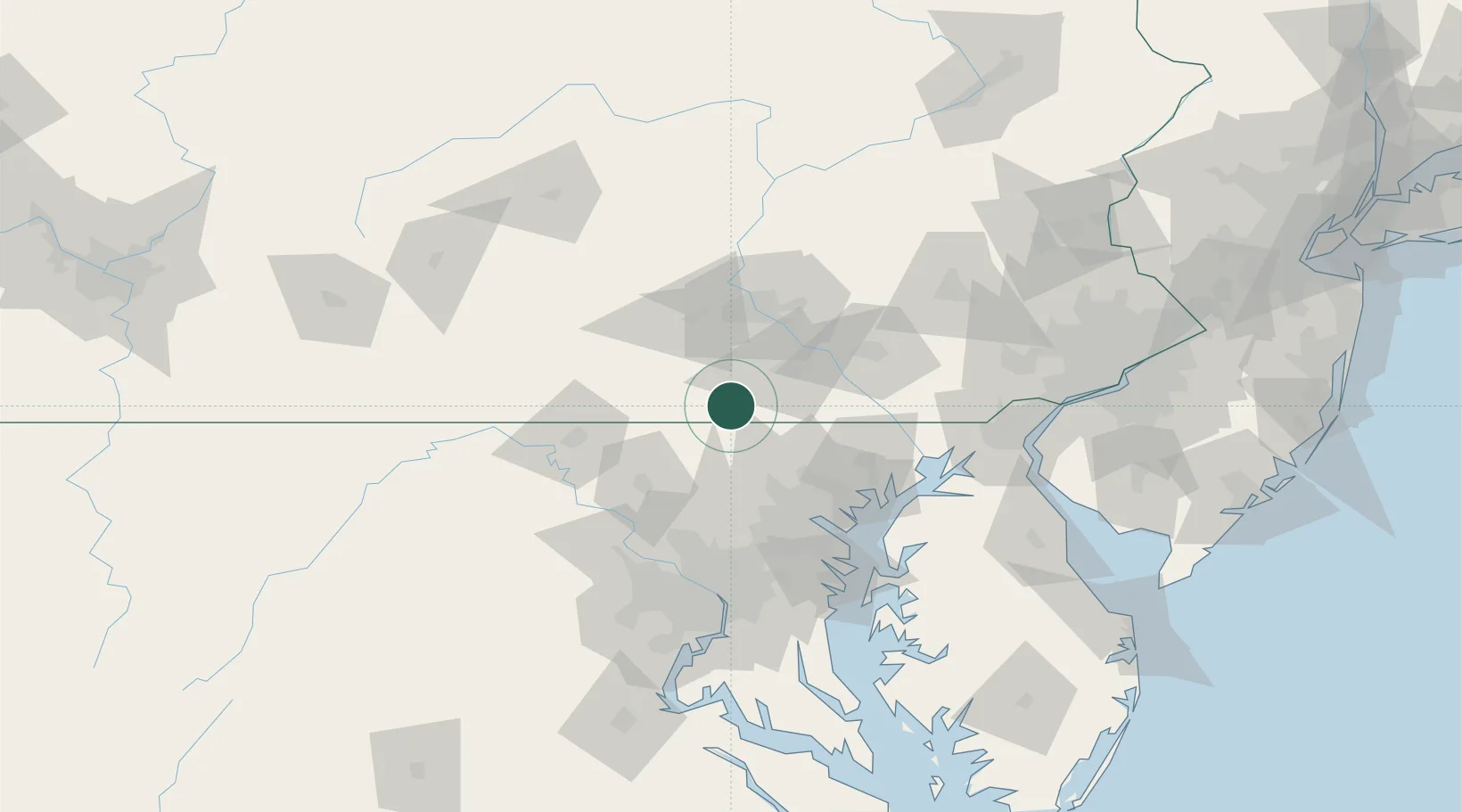
McSherrystown
39.8000°, -77.0000°
3,067
Population
3
Transport functions
Transport Functions
Rail
Road
Multimodal
Hub Profile
Place type
Populated place
Region
Pennsylvania
Population
3,067
Time zone
America/New_York
Elevation
178 m
Location
Nearby Logistics Neighbours
Cities
- 1Abbottstown9 km
- 2Littlestown10 km
- 3Jefferson14 km
- 4Spring Grove15 km
- 5Manchester19 km
Ports
- 1Baltimore69 km
- 2Havre De Grace84 km
- 3Annapolis101 km
- 4Washington D.C.104 km
- 5Alexandria111 km
Airports
Trade Zones
DatabookThe Record of Consolidated Knowledge
United States beyond logistics?