UN/LOCODE hub · United States
USAQW
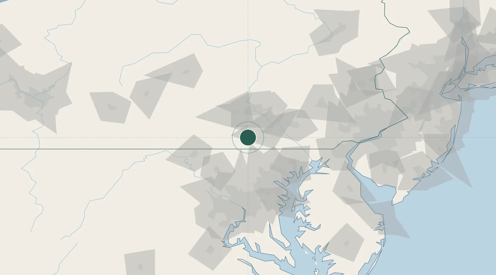
Abbottstown
39.8833°, -76.9833°
1,020
Population
2
Transport functions
Transport Functions
Port
Multimodal
Hub Profile
Place type
Populated place
Region
Pennsylvania
Population
1,020
Time zone
America/New_York
Elevation
166 m
Location
Nearby Logistics Neighbours
Cities
- 1McSherrystown9 km
- 2Spring Grove12 km
- 3Jefferson15 km
- 4Dover17 km
- 5Littlestown19 km
Ports
- 1Baltimore77 km
- 2Havre De Grace86 km
- 3Annapolis109 km
- 4Washington D.C.113 km
- 5Alexandria121 km
Airports
Trade Zones
DatabookThe Record of Consolidated Knowledge
United States beyond logistics?