UN/LOCODE hub · United States
USZMN
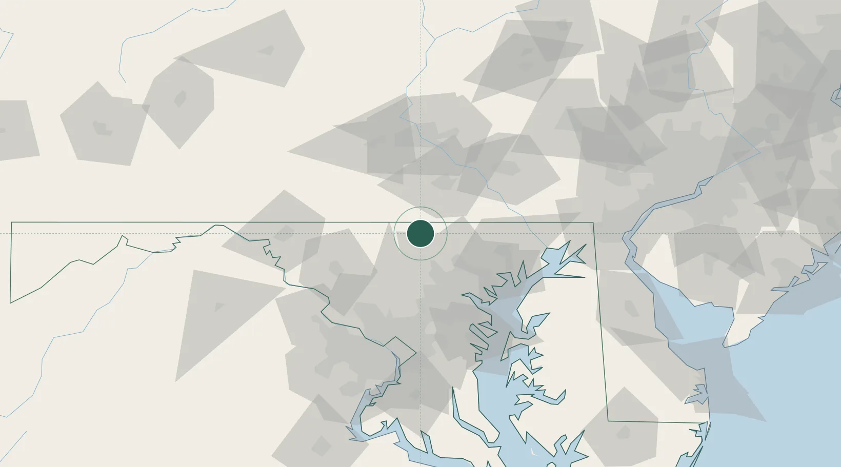
Manchester
39.6500°, -76.8833°
5,408
Population
2
Transport functions
Transport Functions
Road
Multimodal
Hub Profile
Place type
Populated place
Region
Maryland
Population
5,408
Time zone
America/New_York
Elevation
302 m
Location
Nearby Logistics Neighbours
Cities
- 1New Freedom18 km
- 2Jefferson19 km
- 3McSherrystown19 km
- 4Littlestown20 km
- 5Glyndon22 km
Ports
- 1Baltimore50 km
- 2Havre De Grace70 km
- 3Annapolis82 km
- 4Washington D.C.88 km
- 5Alexandria95 km
Airports
Trade Zones
DatabookThe Record of Consolidated Knowledge
United States beyond logistics?