UN/LOCODE hub · United States
USML5
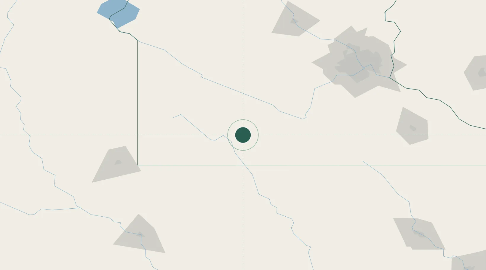
Mountain Lake
43.9333°, -94.9333°
2,117
Population
3
Transport functions
Transport Functions
Rail
Road
Multimodal
Hub Profile
Place type
Populated place
Region
Minnesota
Population
2,117
Time zone
America/Chicago
Elevation
397 m
Location
Nearby Logistics Neighbours
Cities
- 1Saint James25 km
- 2Springfield34 km
- 3Truman42 km
- 4Sleepy Eye44 km
- 5Round Lake62 km
Ports
- 1Superior384 km
- 2Duluth385 km
- 3Two Harbors428 km
- 4Ashland435 km
- 5Washburn439 km
Airports
Trade Zones
- 1FTZ No. 288 Northwest Iowa126 km
- 2FTZ No. 220 Sioux Falls155 km
- 3FTZ No. 119 Minneapolis-St. Paul177 km
- 4FTZ No. 107 Polk County270 km
- 5FTZ No. 175 Cedar Rapids336 km
DatabookThe Record of Consolidated Knowledge
United States beyond logistics?