Transport Functions
Road
Multimodal
Hub Profile
Place type
Populated place
Region
Indiana
Population
985
Time zone
America/Indiana/Indianapolis
Elevation
308 m
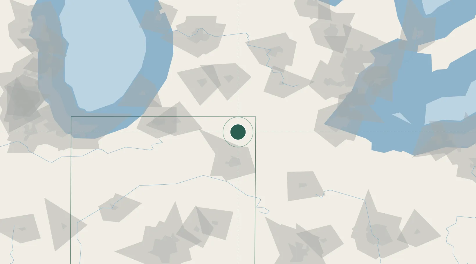
Location
Nearby Logistics Neighbours
Cities
- 1Hudson2 km
- 2Pleasant Lake7 km
- 3Corunna12 km
- 4South Milford17 km
- 5Butler21 km
Ports
- 1St Joseph134 km
- 2Toledo134 km
- 3South Haven139 km
- 4Monroe149 km
- 5Michigan City154 km
Airports
Trade Zones
- 1FTZ No. 182 Fort Wayne54 km
- 2FTZ No. 043 Battle Creek91 km
- 3FTZ No. 125 South Bend108 km
- 4FTZ No. 151 Findlay126 km
- 5FTZ No. 008 Toledo128 km
DatabookThe Record of Consolidated Knowledge
United States beyond logistics?