Transport Functions
Rail
Road
Airport
Multimodal
Hub Profile
Place type
Provincial seat
Region
Louisiana
Population
3,417
Time zone
America/Chicago
Elevation
51 m
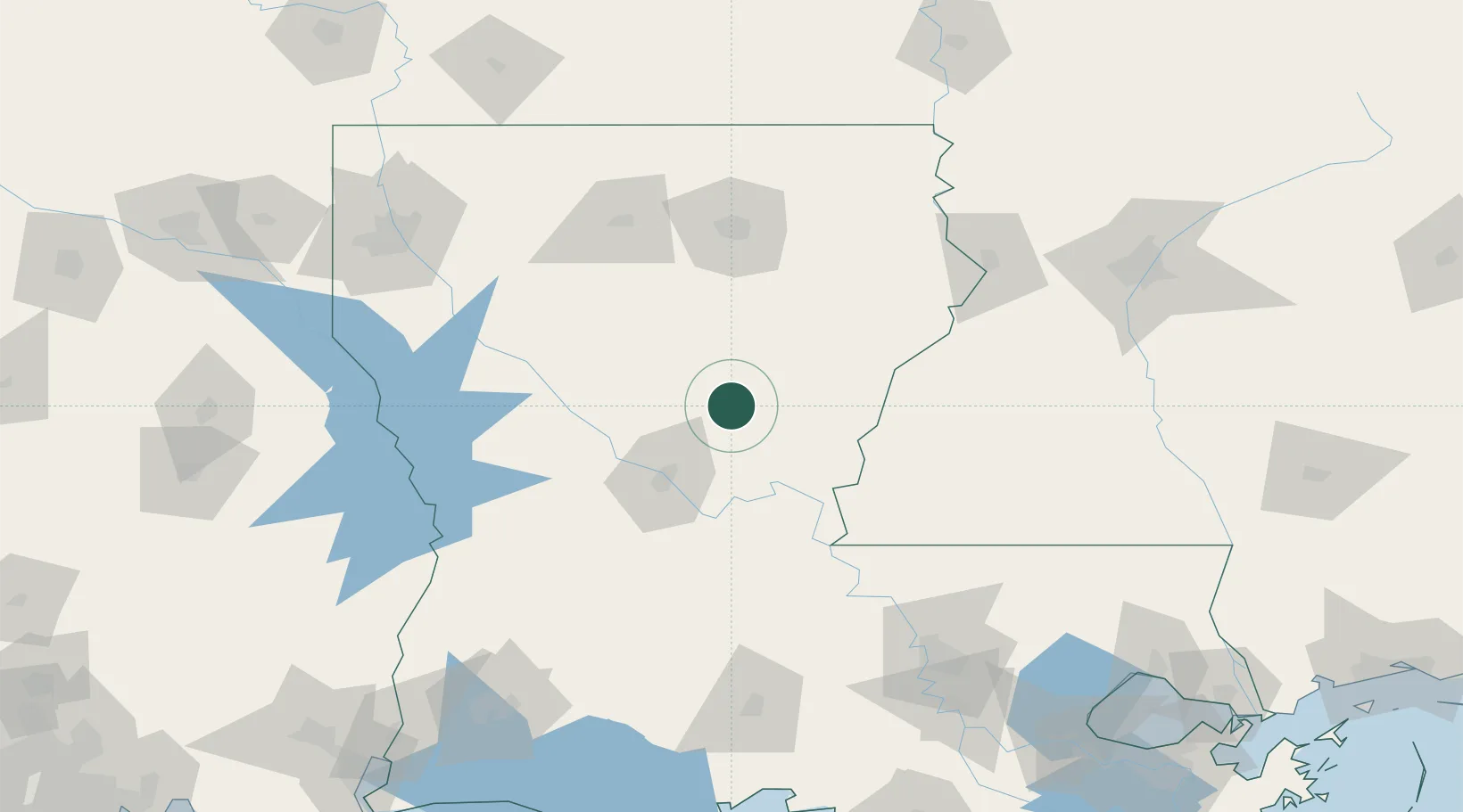
Location
Nearby Logistics Neighbours
Cities
- 1Winnfield55 km
- 2Ferriday56 km
- 3Boyce60 km
- 4Marksville62 km
- 5Lena64 km
Ports
- 1Baton Rouge163 km
- 2Lake Charles193 km
- 3Convent222 km
- 4St. James225 km
- 5Orange233 km
Airports
Trade Zones
- 1FTZ No. 158 Vicksburg Jackson146 km
- 2FTZ No. 154 Baton Rouge160 km
- 3FTZ No. 155 Calhoun Victoria Counties160 km
- 4FTZ No. 145 Shreveport193 km
- 5FTZ No. 146 Lawrence County193 km
DatabookThe Record of Consolidated Knowledge
United States beyond logistics?