Transport Functions
Multimodal
Hub Profile
Place type
Populated place
Region
Virginia
Time zone
America/New_York
Elevation
45 m
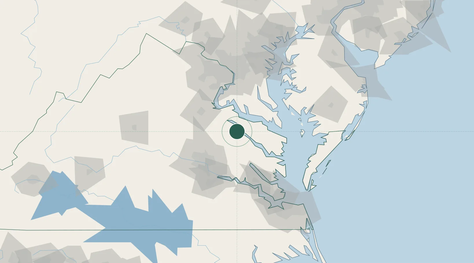
Location
Nearby Logistics Neighbours
Cities
- 1Havelock13 km
- 2Warsaw19 km
- 3Walkerton32 km
- 4Milford34 km
- 5King George34 km
Ports
- 1Piney Point42 km
- 2Fredericksburg53 km
- 3West Point54 km
- 4Solomons Island58 km
- 5Richmond64 km
Airports
Trade Zones
DatabookThe Record of Consolidated Knowledge
United States beyond logistics?