Transport Functions
Rail
Road
Hub Profile
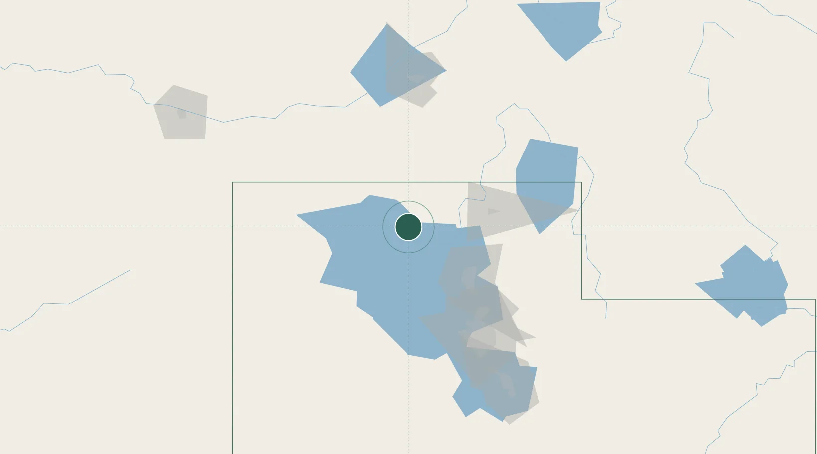
Region
UT
Location
Nearby Logistics Neighbours
Cities
- 1Garland33 km
- 2Corinne35 km
- 3Collinston41 km
- 4Plymouth43 km
- 5Pleasant View, Weber56 km
Ports
- 1The Dalles825 km
- 2Sacramento833 km
- 3Courtland851 km
- 4Stockton852 km
- 5Walnut Grove853 km
Airports
- 1Logan-Cache Airport60 km
- 2Ogden Hinckley Airport64 km
- 3Hill Air Force Base72 km
- 4Salt Lake City International Airport103 km
- 5South Valley Regional Airport120 km
Trade Zones
- 1FTZ No. 030 Salt Lake City104 km
- 2FTZ No. 280 Ada and Canyon Counties426 km
- 3FTZ No. 274 Butte-Silver Bow478 km
- 4FTZ No. 275 Lansing489 km
- 5FTZ No. 126 Sparks653 km
DatabookThe Record of Consolidated Knowledge
United States beyond logistics?