UN/LOCODE hub · United States
USXOX

Pleasant View, Weber

41.3167°, -112.0000°
2
Transport functions

Transport Functions

Rail
Road
UN/LOCODE

Hub Profile

Region
UT
GeoNames

Location

Location of USXOX
Natural Earth 10m (public domain) · UT · USXOX · 41.32, -112.00GoogleOSMYandex

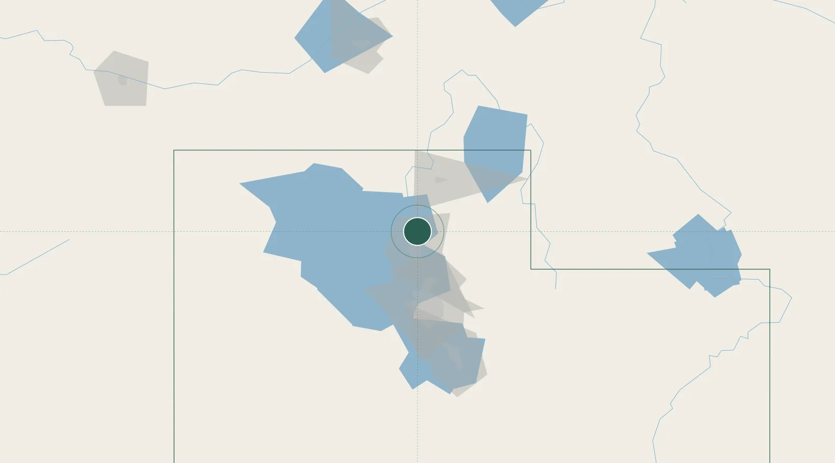
Nearby Logistics Neighbours

Cities
  1. 1South Ogden15 km
  2. 2Washington Terrace17 km
  3. 3Sunset19 km
  4. 4Hooper21 km
  5. 5Hill Air Force Base22 km
Nearest neighbours — logibook spatial index (haversine) over the source coordinates
Ports
  1. 1Sacramento864 km
  2. 2Stockton879 km
  3. 3The Dalles880 km
  4. 4Courtland881 km
  5. 5Walnut Grove882 km
Nearest neighbours — logibook spatial index (haversine) over the source coordinates
Airports
  1. 1Ogden Hinckley Airport14 km
  2. 2Hill Air Force Base22 km
  3. 3Logan-Cache Airport54 km
  4. 4Salt Lake City International Airport59 km
  5. 5South Valley Regional Airport78 km
Nearest neighbours — logibook spatial index (haversine) over the source coordinates
Trade Zones
  1. 1FTZ No. 030 Salt Lake City60 km
  2. 2FTZ No. 280 Ada and Canyon Counties481 km
  3. 3FTZ No. 274 Butte-Silver Bow516 km
  4. 4FTZ No. 275 Lansing524 km
  5. 5FTZ No. 298 Jefferson County604 km
Nearest neighbours — logibook spatial index (haversine) over the source coordinates
DatabookThe Record of Consolidated Knowledge
United States beyond logistics?
Browse databook

All Sources

LocationsUN/LOCODE
UN/LOCODE — free
Portsthe NGA World Port Index
Public domain (US gov)
AirportsOurAirports
Public domain
Trade Zonesthe World Bank SEZ database
CC BY 4.0
Trade ZonesOpen Zone Map
CC BY
← United States locations