UN/LOCODE hub · United States
USPWZ

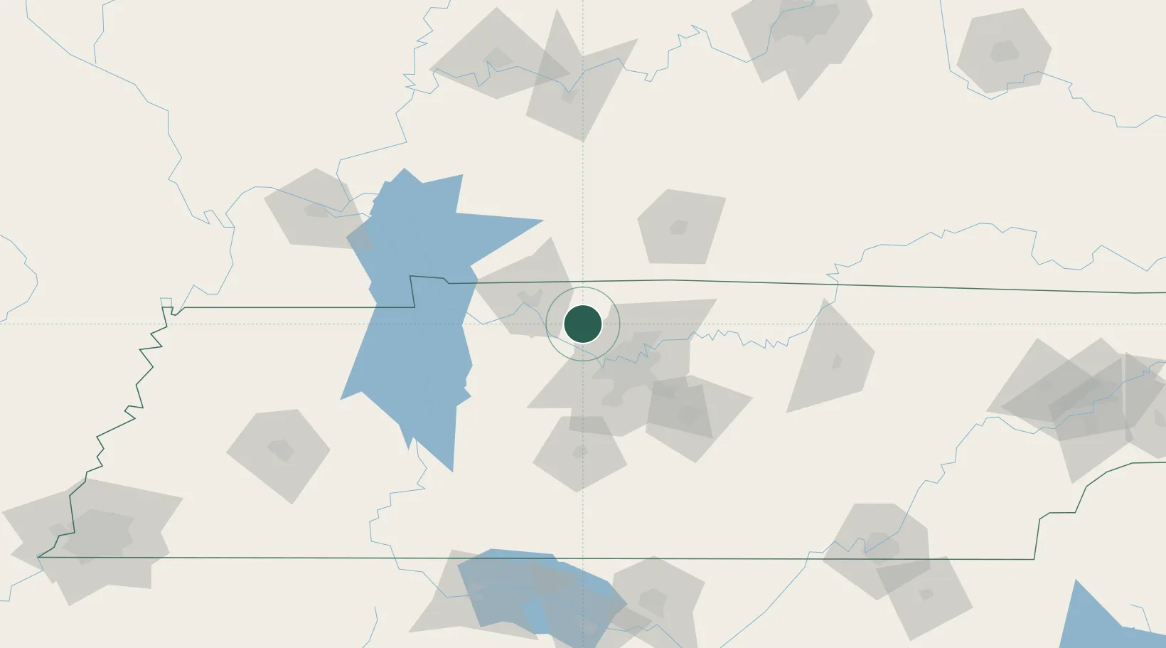
Pleasant View, Cheatham

36.4000°, -87.0333°
2
Transport functions

Transport Functions

Road
Multimodal
UN/LOCODE

Hub Profile

Region
TN
GeoNames

Location

Location of USPWZ
Natural Earth 10m (public domain) · TN · USPWZ · 36.40, -87.03GoogleOSMYandex

Nearby Logistics Neighbours

Cities
  1. 1Chapmansboro14 km
  2. 2Adams21 km
  3. 3Greenbrier, Robertson21 km
  4. 4Cumberland Furnace33 km
  5. 5Kingston Springs34 km
Nearest neighbours — logibook spatial index (haversine) over the source coordinates
Ports
  1. 1Port Of Memphis319 km
  2. 2Gary581 km
  3. 3Indiana Harbor587 km
  4. 4Michigan City593 km
  5. 5Calumet Harbor595 km
Nearest neighbours — logibook spatial index (haversine) over the source coordinates
Airports
  1. 1Nashville International Airport44 km
  2. 2Campbell Army Airfield (Fort Campbell)51 km
  3. 3Smyrna Airport63 km
  4. 4Bowling Green Warren County Regional Airport83 km
  5. 5Owensboro Daviess County Airport150 km
Nearest neighbours — logibook spatial index (haversine) over the source coordinates
Trade Zones
  1. 1FTZ No. 078 Nashville24 km
  2. 2FTZ No. 294 Western Kentucky157 km
  3. 3FTZ No. 177 Evansville185 km
  4. 4FTZ No. 265 Conroe (Montgomery County)193 km
  5. 5FTZ No. 270 Lawrence County196 km
Nearest neighbours — logibook spatial index (haversine) over the source coordinates
DatabookThe Record of Consolidated Knowledge
United States beyond logistics?
Browse databook

All Sources

LocationsUN/LOCODE
UN/LOCODE — free
Portsthe NGA World Port Index
Public domain (US gov)
AirportsOurAirports
Public domain
Trade Zonesthe World Bank SEZ database
CC BY 4.0
Trade ZonesOpen Zone Map
CC BY
← United States locations