Transport Functions
Road
Multimodal
Hub Profile
Place type
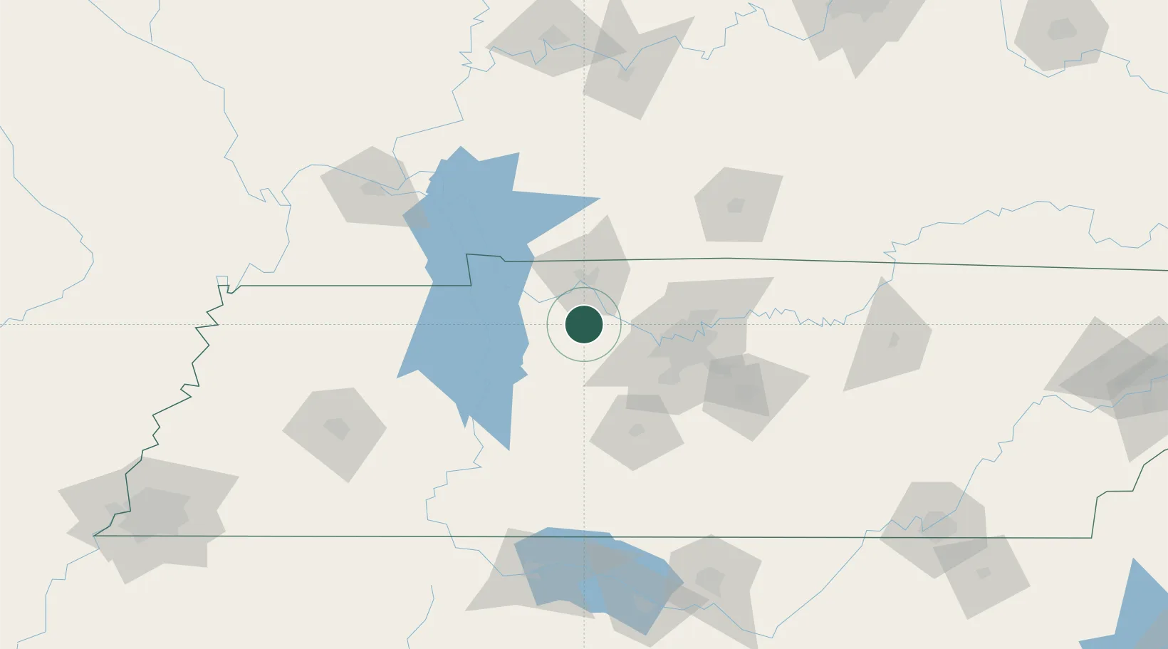
Populated place
Region
Tennessee
Time zone
America/Chicago
Elevation
158 m
Location
Nearby Logistics Neighbours
Cities
- 1Chapmansboro21 km
- 2Dickson22 km
- 3Burns25 km
- 4Cumberland City26 km
- 5Erin29 km
Ports
- 1Port Of Memphis286 km
- 2Gary595 km
- 3Indiana Harbor601 km
- 4Calumet Harbor608 km
- 5Michigan City609 km
Airports
Trade Zones
- 1FTZ No. 078 Nashville29 km
- 2FTZ No. 294 Western Kentucky140 km
- 3FTZ No. 265 Conroe (Montgomery County)182 km
- 4FTZ No. 270 Lawrence County185 km
- 5FTZ No. 083 Huntsville188 km
DatabookThe Record of Consolidated Knowledge
United States beyond logistics?