UN/LOCODE hub · United States
USKS3
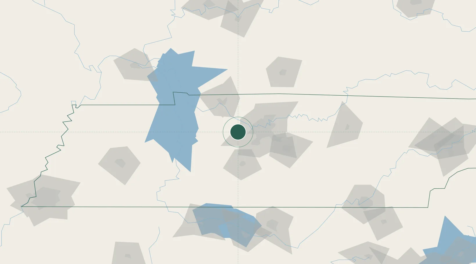
Kingston Springs
36.1000°, -87.1167°
2,770
Population
2
Transport functions
Transport Functions
Rail
Road
Hub Profile
Place type
Populated place
Region
Tennessee
Population
2,770
Time zone
America/Chicago
Elevation
159 m
Location
Nearby Logistics Neighbours
Cities
- 1Fairview13 km
- 2Liberty Hill, Williamson14 km
- 3Burns17 km
- 4Chapmansboro22 km
- 5Dickson24 km
Ports
- 1Port Of Memphis299 km
- 2Gary614 km
- 3Indiana Harbor620 km
- 4Michigan City627 km
- 5Calumet Harbor627 km
Airports
Trade Zones
- 1FTZ No. 078 Nashville11 km
- 2FTZ No. 265 Conroe (Montgomery County)161 km
- 3FTZ No. 270 Lawrence County163 km
- 4FTZ No. 083 Huntsville165 km
- 5FTZ No. 294 Western Kentucky169 km
DatabookThe Record of Consolidated Knowledge
United States beyond logistics?