Transport Functions
Rail
Road
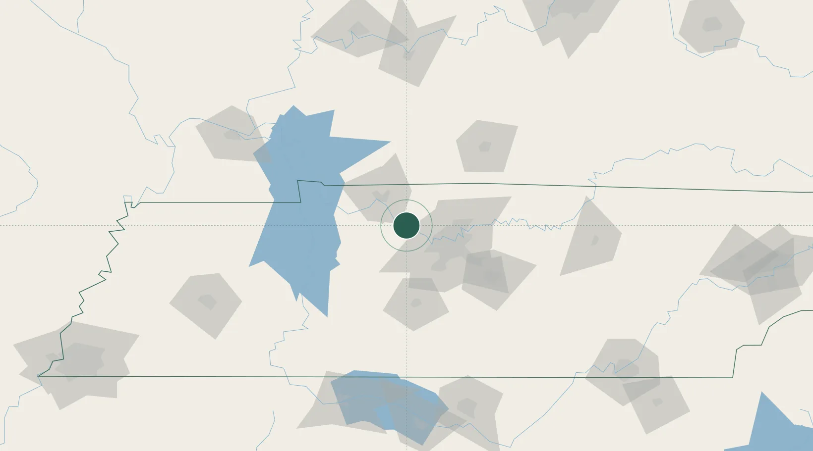
Hub Profile
Place type
Populated place
Region
Tennessee
Time zone
America/Chicago
Elevation
122 m
Location
Nearby Logistics Neighbours
Cities
- 1Pleasant View, Cheatham14 km
- 2Cumberland Furnace21 km
- 3Kingston Springs22 km
- 4Burns32 km
- 5Adams32 km
Ports
- 1Port Of Memphis306 km
- 2Gary591 km
- 3Indiana Harbor597 km
- 4Michigan City605 km
- 5Calumet Harbor605 km
Airports
Trade Zones
- 1FTZ No. 078 Nashville14 km
- 2FTZ No. 294 Western Kentucky155 km
- 3FTZ No. 265 Conroe (Montgomery County)183 km
- 4FTZ No. 270 Lawrence County186 km
- 5FTZ No. 083 Huntsville187 km
DatabookThe Record of Consolidated Knowledge
United States beyond logistics?