Transport Functions
Road
Multimodal
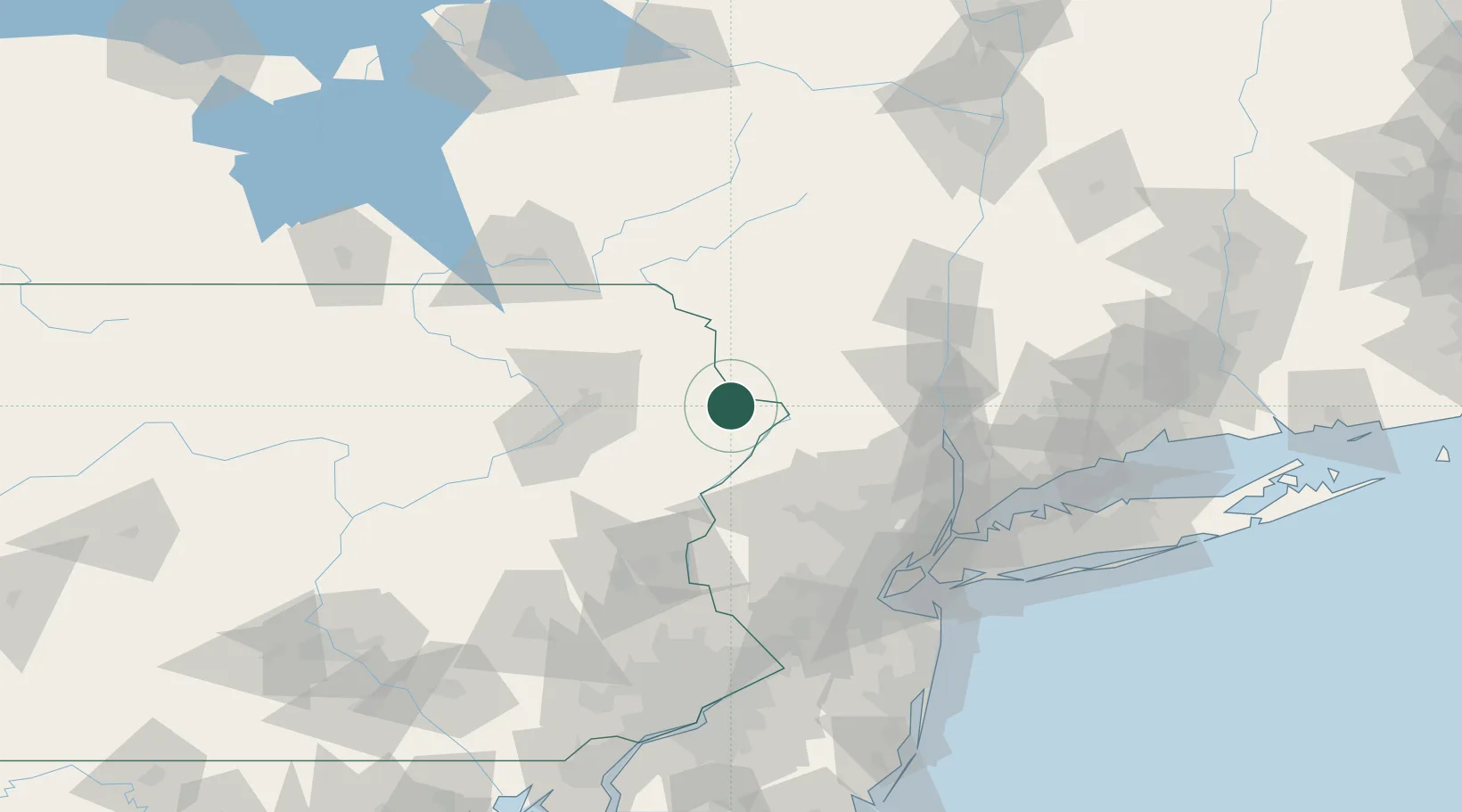
Hub Profile
Place type
Populated place
Region
Pennsylvania
Time zone
America/New_York
Elevation
336 m
Location
Nearby Logistics Neighbours
Cities
- 1Hawley16 km
- 2Sparrow Bush22 km
- 3Narrowsburg23 km
- 4Greentown29 km
- 5Huguenot29 km
Ports
- 1Newburgh83 km
- 2Poughkeepsie92 km
- 3Kingston102 km
- 4Yonkers105 km
- 5Newark106 km
Airports
Trade Zones
DatabookThe Record of Consolidated Knowledge
United States beyond logistics?