Transport Functions
Rail
Road
Multimodal
Hub Profile
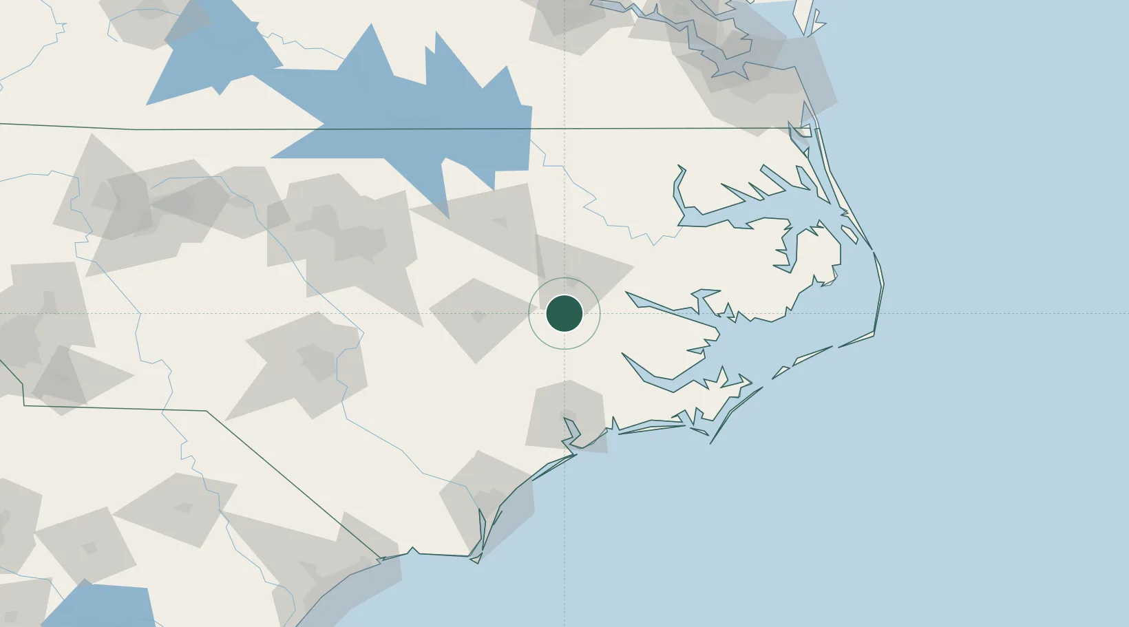
Place type
Populated place
Region
North Carolina
Time zone
America/New_York
Elevation
19 m
Location
Nearby Logistics Neighbours
Cities
- 1Grifton4 km
- 2Winterville15 km
- 3La Grange34 km
- 4Bethel, Pitt45 km
- 5Pinetops46 km
Ports
- 1Washington39 km
- 2New Bern48 km
- 3Belhaven78 km
- 4Plymouth81 km
- 5Morehead City101 km
Airports
Trade Zones
- 1FTZ No. 214 Lenoir County46 km
- 2FTZ No. 093 Raleigh Durham144 km
- 3FTZ No. 020 Suffolk185 km
- 4FTZ No. 207 Richmond237 km
- 5FTZ No. 230 Piedmont Triad Area260 km
DatabookThe Record of Consolidated Knowledge
United States beyond logistics?