Transport Functions
Port
Hub Profile
Place type
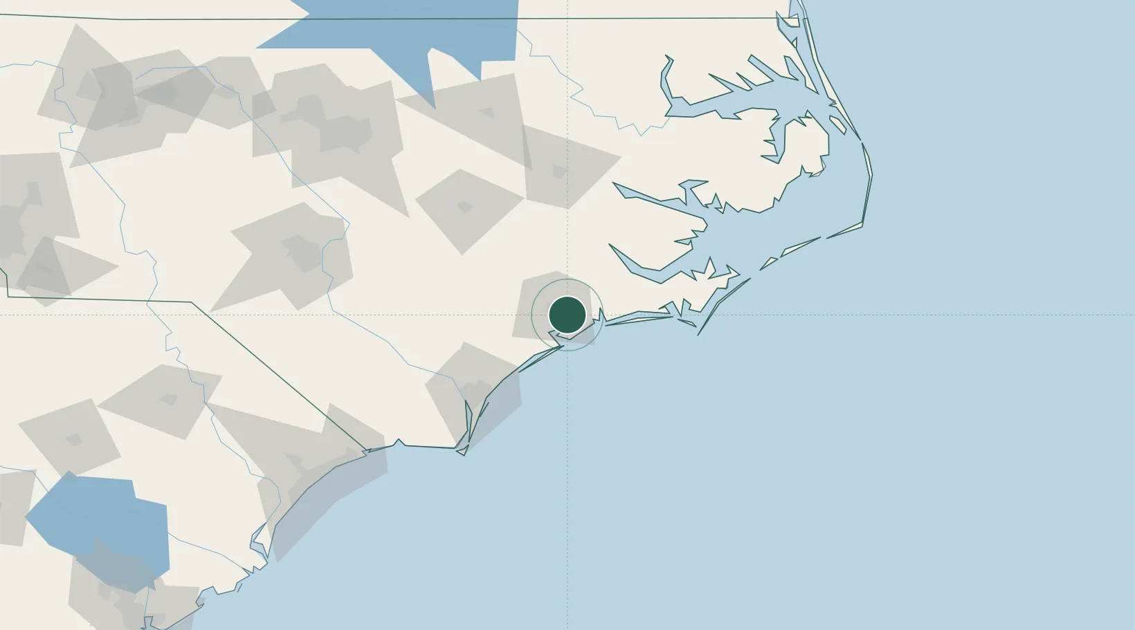
Populated place
Region
North Carolina
Time zone
America/New_York
Elevation
10 m
Location
Nearby Logistics Neighbours
Cities
- 1Sneads Ferry19 km
- 2Cedar Point25 km
- 3Cape Carteret25 km
- 4Holly Springs, Carteret41 km
- 5Havelock42 km
Ports
- 1New Bern50 km
- 2Morehead City58 km
- 3Beaufort61 km
- 4Wrightsville71 km
- 5Wilmington78 km
Airports
Trade Zones
- 1FTZ No. 214 Lenoir County76 km
- 2FTZ No. 093 Raleigh Durham194 km
- 3FTZ No. 020 Suffolk254 km
- 4FTZ No. 230 Piedmont Triad Area303 km
- 5FTZ No. 207 Richmond313 km
DatabookThe Record of Consolidated Knowledge
United States beyond logistics?