UN/LOCODE hub · United States
USPOD
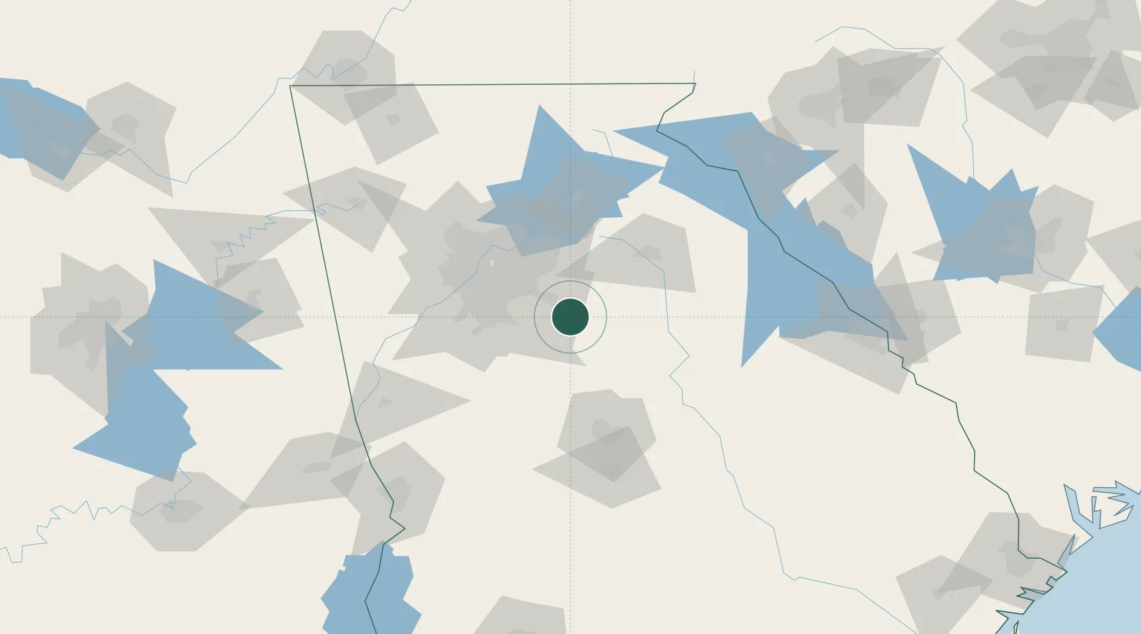
Porterdale
33.5667°, -83.8833°
1,483
Population
3
Transport functions
Transport Functions
Port
Road
Multimodal
Hub Profile
Place type
Populated place
Region
Georgia
Population
1,483
Time zone
America/New_York
Elevation
213 m
Location
Nearby Logistics Neighbours
Cities
- 1Fairfield6 km
- 2Social Circle18 km
- 3Redan30 km
- 4Loganville30 km
- 5Jenkinsburg31 km
Ports
- 1Savannah309 km
- 2Beaufort325 km
- 3Port Royal327 km
- 4Darien336 km
- 5Brunswick350 km
Airports
Trade Zones
- 1FTZ No. 026 Atlanta52 km
- 2FTZ No. 038 Spartanburg County210 km
- 3FTZ No. 134 Chattanooga219 km
- 4FTZ No. 127 West Columbia259 km
- 5FTZ No. 222 Montgomery262 km
DatabookThe Record of Consolidated Knowledge
United States beyond logistics?