UN/LOCODE hub · United States
USOCR
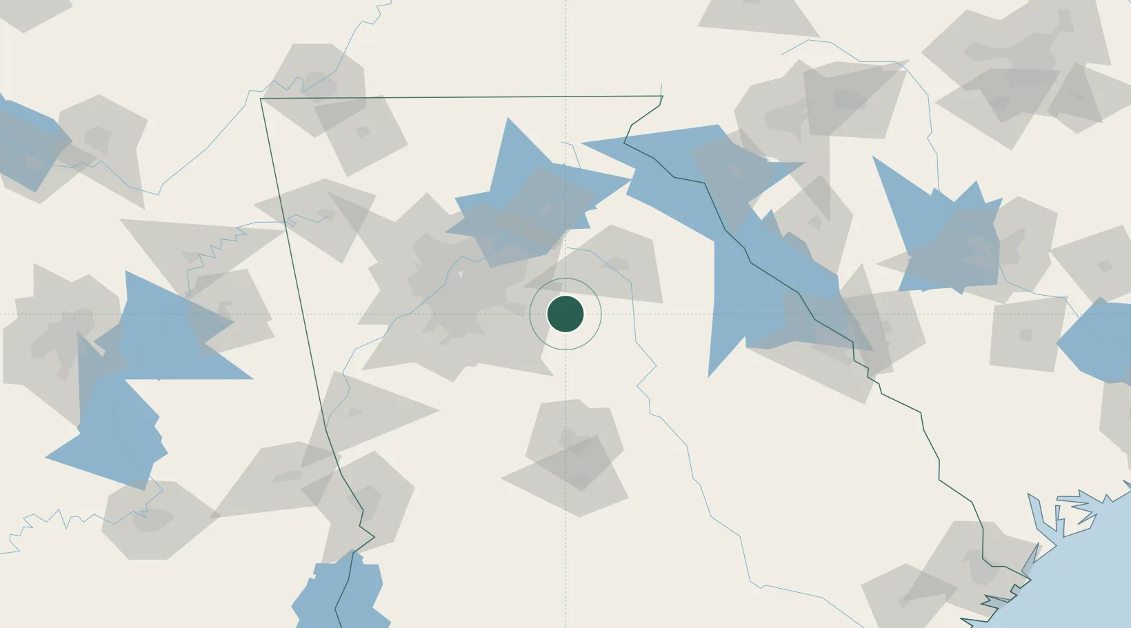
Social Circle
33.6500°, -83.7167°
4,383
Population
3
Transport functions
Transport Functions
Rail
Road
Multimodal
Hub Profile
Place type
Populated place
Region
Georgia
Population
4,383
Time zone
America/New_York
Elevation
270 m
Location
Nearby Logistics Neighbours
Cities
- 1Fairfield12 km
- 2Porterdale18 km
- 3Loganville27 km
- 4Bethlehem32 km
- 5Bishop32 km
Ports
- 1Savannah301 km
- 2Beaufort315 km
- 3Port Royal317 km
- 4Darien332 km
- 5Brunswick347 km
Airports
Trade Zones
- 1FTZ No. 026 Atlanta64 km
- 2FTZ No. 038 Spartanburg County193 km
- 3FTZ No. 134 Chattanooga222 km
- 4FTZ No. 127 West Columbia242 km
- 5FTZ No. 148 Knoxville264 km
DatabookThe Record of Consolidated Knowledge
United States beyond logistics?