Transport Functions
Port
Multimodal
Hub Profile
Place type
Populated place
Region
Georgia
Time zone
America/New_York
Elevation
214 m
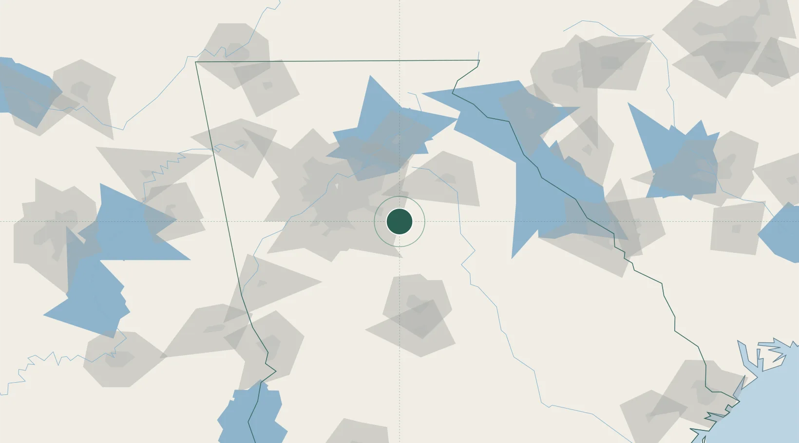
Location
Nearby Logistics Neighbours
Cities
- 1Porterdale6 km
- 2Social Circle12 km
- 3Loganville29 km
- 4Redan34 km
- 5Grayson36 km
Ports
- 1Savannah305 km
- 2Beaufort320 km
- 3Port Royal322 km
- 4Darien333 km
- 5Brunswick347 km
Airports
Trade Zones
- 1FTZ No. 026 Atlanta57 km
- 2FTZ No. 038 Spartanburg County204 km
- 3FTZ No. 134 Chattanooga221 km
- 4FTZ No. 127 West Columbia253 km
- 5FTZ No. 222 Montgomery269 km
DatabookThe Record of Consolidated Knowledge
United States beyond logistics?