Seaplane base · United States

Funter Bay Seaplane BasePANR

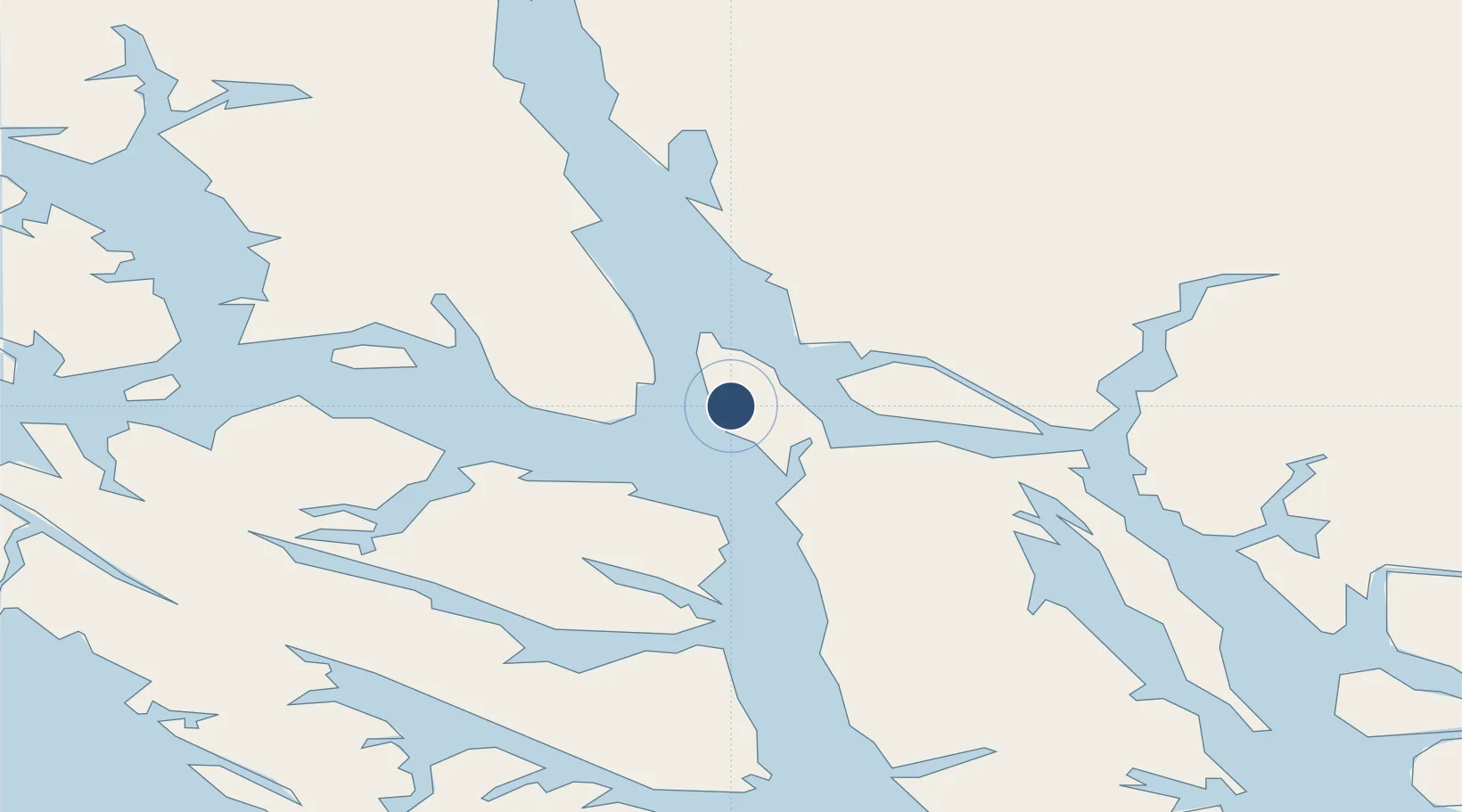
58.2544°, -134.8980°
10,500 ft
Longest runway
1
Runways
0 ft
Elevation

Runway & Layout

Runways · 1

RunwayDimensions SurfaceTrue headingLit
NE/SW 10,500 × 500ft WATER-E
OurAirports

Airport Specifications

IATA code
FNR
OurAirports
ICAO code
PANR
OurAirports
Airport class
Seaplane base
OurAirports
Scheduled service
Yes
OurAirports
Runway surface
WATER-E
OurAirports
Served city
Funter Bay
OurAirports

Location

Location of PANR
Natural Earth 10m (public domain) · British Columbia · PANR · 58.25, -134.90GoogleOSMYandex

Nearby Logistics Neighbours

Airports
  1. 1Point Retreat CG Light Station Helipad18 km
  2. 2Juneau International Airport22 km
  3. 3Hoonah Airport35 km
  4. 4Excursion Inlet Seaplane Base37 km
  5. 5Gustavus Airport51 km
Nearest neighbours — logibook spatial index (haversine) over the source coordinates
Cities
  1. 1Juneau27 km
  2. 2Pleasant Island44 km
  3. 3Tyee136 km
  4. 4Neets Bay340 km
  5. 5Ward Cove372 km
Nearest neighbours — logibook spatial index (haversine) over the source coordinates
Ports
  1. 1Funter1 km
  2. 2Hawk Inlet18 km
  3. 3Juneau29 km
  4. 4Hoonah36 km
  5. 5Excursion Inlet37 km
Nearest neighbours — logibook spatial index (haversine) over the source coordinates
Trade Zones
  1. 1FTZ No. 108 Valdez717 km
  2. 2PrInce George Logistics Park893 km
  3. 3FTZ No. 160 Anchorage901 km
  4. 4FTZ No. 195 Fairbanks995 km
  5. 5FTZ Vancouver Island1263 km
Nearest neighbours — logibook spatial index (haversine) over the source coordinates
DatabookThe Record of Consolidated Knowledge
United States beyond logistics?
Browse databook

All Sources

AirportsOurAirports
Public domain
Portsthe NGA World Port Index
Public domain (US gov)
LocationsUN/LOCODE
UN/LOCODE — free
Trade Zonesthe World Bank SEZ database
CC BY 4.0
Trade ZonesOpen Zone Map
CC BY
← United States airports