Transport Functions
Rail
Road
Hub Profile
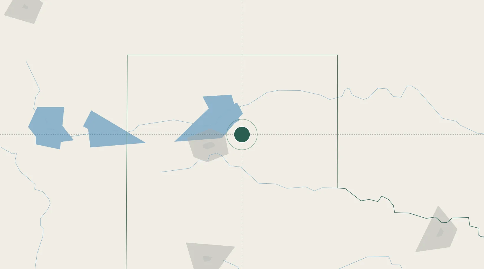
Region
TX
Location
Nearby Logistics Neighbours
Ports
- 1Deer Park842 km
- 2Houston845 km
- 3Pasadena852 km
- 4Baytown863 km
- 5Port Lavaca873 km
Airports
Trade Zones
- 1FTZ No. 252 Amarillo48 km
- 2FTZ No. 260 Lubbock204 km
- 3FTZ No. 261 Alexandria204 km
- 4FTZ No. 106 Oklahoma City350 km
- 5FTZ No. 165 Midland377 km
DatabookThe Record of Consolidated Knowledge
United States beyond logistics?