Transport Functions
Rail
Road
Multimodal
Hub Profile
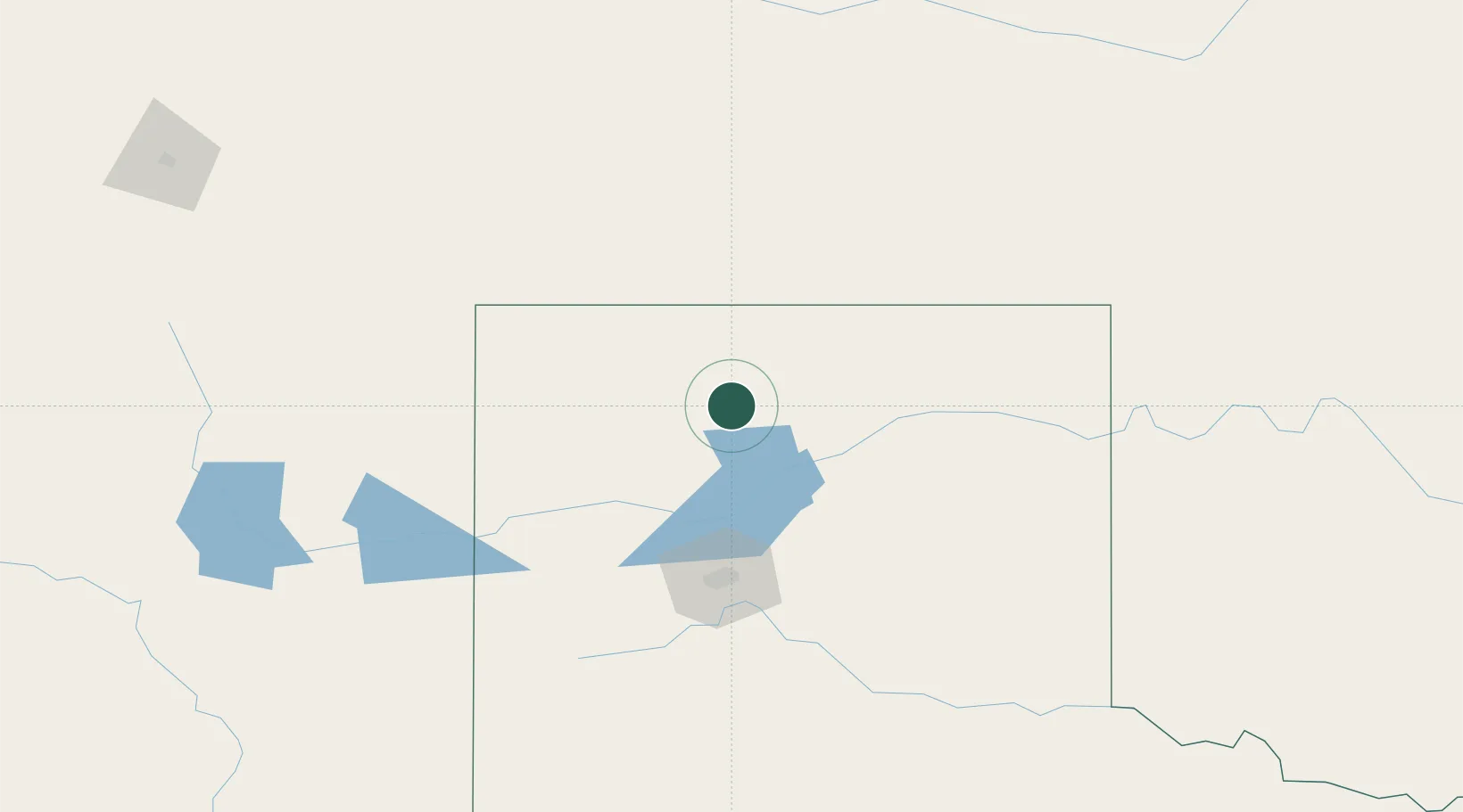
Place type
Populated place
Region
Texas
Population
1,931
Time zone
America/Chicago
Elevation
1,069 m
Location
Nearby Logistics Neighbours
Cities
- 1Cactus (Moore County)10 km
- 2Etter15 km
- 3Borger55 km
- 4Panhandle, Carson84 km
- 5Zita100 km
Ports
- 1Deer Park923 km
- 2Houston926 km
- 3Pasadena933 km
- 4Baytown944 km
- 5Port Lavaca957 km
Airports
Trade Zones
- 1FTZ No. 252 Amarillo91 km
- 2FTZ No. 260 Lubbock270 km
- 3FTZ No. 261 Alexandria270 km
- 4FTZ No. 106 Oklahoma City392 km
- 5FTZ No. 293 Limon397 km
DatabookThe Record of Consolidated Knowledge
United States beyond logistics?