UN/LOCODE hub · United States
USHN2

Haney

35.0833°, -101.8833°
2
Transport functions

Transport Functions

Rail
Road
UN/LOCODE

Hub Profile

Place type
Populated place
GeoNames
Region
Mississippi
GeoNames
Time zone
America/Chicago
GeoNames
Elevation
92 m
GeoNames

Location

Location of USHN2
Natural Earth 10m (public domain) · Mississippi · USHN2 · 35.08, -101.88GoogleOSMYandex

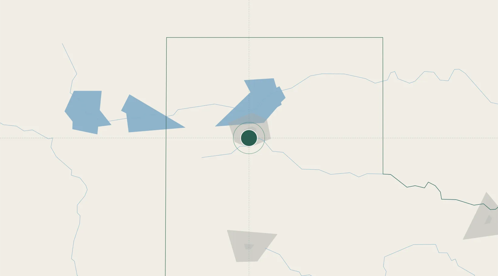
Nearby Logistics Neighbours

Cities
  1. 1Zita5 km
  2. 2Canyon13 km
  3. 3Panhandle, Carson54 km
  4. 4Borger79 km
  5. 5Hart80 km
Nearest neighbours — logibook spatial index (haversine) over the source coordinates
Ports
  1. 1Deer Park854 km
  2. 2Houston857 km
  3. 3Pasadena864 km
  4. 4Port Lavaca874 km
  5. 5Baytown877 km
Nearest neighbours — logibook spatial index (haversine) over the source coordinates
Airports
  1. 1Rick Husband Amarillo International Airport22 km
  2. 2Dalhart Municipal Airport121 km
  3. 3Clovis Municipal Airport131 km
  4. 4Cannon Air Force Base153 km
  5. 5Tucumcari Municipal Airport157 km
Nearest neighbours — logibook spatial index (haversine) over the source coordinates
Trade Zones
  1. 1FTZ No. 252 Amarillo13 km
  2. 2FTZ No. 260 Lubbock167 km
  3. 3FTZ No. 261 Alexandria167 km
  4. 4FTZ No. 165 Midland341 km
  5. 5FTZ No. 166 Homestead341 km
Nearest neighbours — logibook spatial index (haversine) over the source coordinates
DatabookThe Record of Consolidated Knowledge
United States beyond logistics?
Browse databook

All Sources

LocationsUN/LOCODE
UN/LOCODE — free
Portsthe NGA World Port Index
Public domain (US gov)
AirportsOurAirports
Public domain
Trade Zonesthe World Bank SEZ database
CC BY 4.0
Trade ZonesOpen Zone Map
CC BY
← United States locations