Medium airport · United States
Rick Husband Amarillo International AirportKAMA
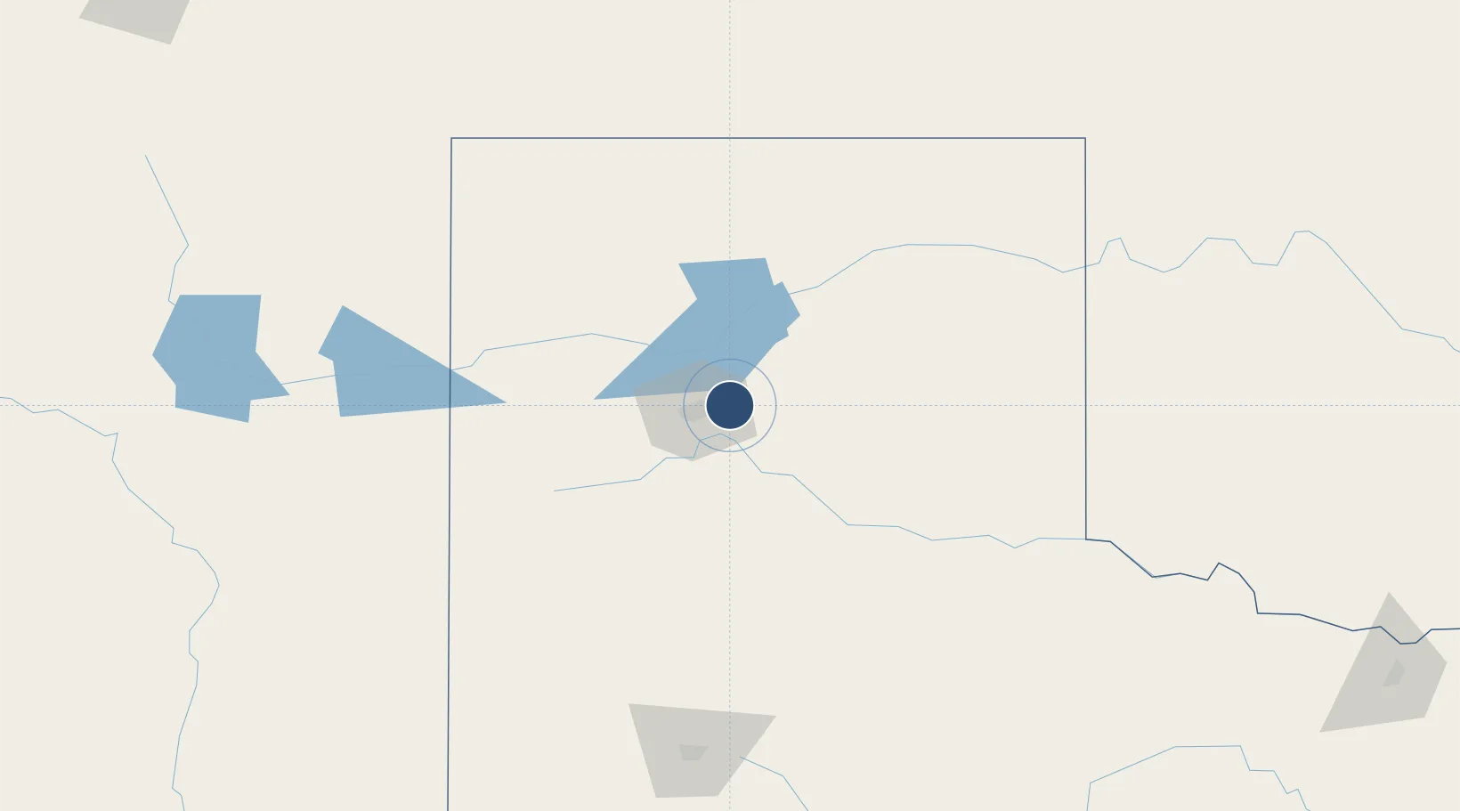
35.2179°, -101.7064°
13,502 ft
Longest runway
2
Runways
3,607 ft
Elevation
Runway & Layout

Radio Frequencies
ATIS
118.85 MHz
TWR
118.3 MHz
GND
121.9 MHz
CLD
121.65 MHz
CLNC DEL
CTAF
118.3 MHz
A/D
121.15 MHz
APP/DEP
RDO
122.65 MHz
FORT WORTH RDO
UNIC
122.95 MHz
UNICOM
Navaids
AM NDB Pande 251 kHz
Runways · 2
| Runway | Dimensions | Surface | True heading | Lit |
|---|---|---|---|---|
| 04/22 | 13,502 × 200ft | Concrete | 046° | ✓ |
| 13/31 | 7,901 × 150ft | Concrete | 138° | ✓ |
Airport Specifications
IATA code
AMA
ICAO code
KAMA
Airport class
Medium airport
Scheduled service
Yes
Runway surface
Concrete
Served city
Amarillo
Location
Nearby Logistics Neighbours
Airports
- 1Dalhart Municipal Airport117 km
- 2Clovis Municipal Airport153 km
- 3Childress Municipal Airport156 km
- 4Guymon Municipal Airport164 km
- 5Tucumcari Municipal Airport172 km
Cities
- 1Zita17 km
- 2Haney22 km
- 3Panhandle, Carson33 km
- 4Canyon34 km
- 5Borger58 km
Ports
- 1Deer Park852 km
- 2Houston856 km
- 3Pasadena863 km
- 4Baytown875 km
- 5Port Lavaca877 km
Trade Zones
- 1FTZ No. 252 Amarillo15 km
- 2FTZ No. 260 Lubbock183 km
- 3FTZ No. 261 Alexandria183 km
- 4FTZ No. 165 Midland357 km
- 5FTZ No. 166 Homestead357 km
DatabookThe Record of Consolidated Knowledge
United States beyond logistics?