UN/LOCODE hub · United States
USAYO

Canyon

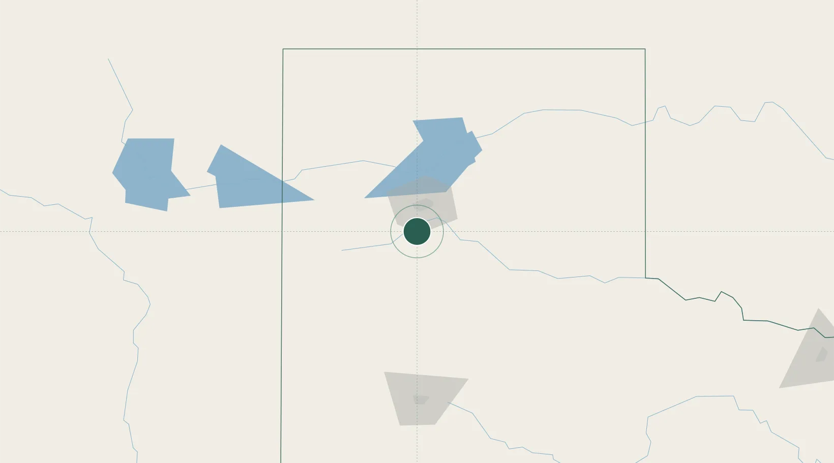
34.9667°, -101.9167°
14,887
Population
3
Transport functions

Transport Functions

Rail
Road
Multimodal
UN/LOCODE

Hub Profile

Place type
Provincial seat
GeoNames
Region
Texas
GeoNames
Population
14,887
GeoNames
Time zone
America/Chicago
GeoNames
Elevation
1,080 m
GeoNames

Location

Location of USAYO
Natural Earth 10m (public domain) · Texas · USAYO · 34.97, -101.92GoogleOSMYandex

Nearby Logistics Neighbours

Cities
  1. 1Haney13 km
  2. 2Zita18 km
  3. 3Panhandle, Carson65 km
  4. 4Hart67 km
  5. 5Silverton79 km
Nearest neighbours — logibook spatial index (haversine) over the source coordinates
Ports
  1. 1Deer Park847 km
  2. 2Houston851 km
  3. 3Pasadena858 km
  4. 4Port Lavaca865 km
  5. 5Baytown871 km
Nearest neighbours — logibook spatial index (haversine) over the source coordinates
Airports
  1. 1Rick Husband Amarillo International Airport34 km
  2. 2Clovis Municipal Airport122 km
  3. 3Dalhart Municipal Airport131 km
  4. 4Cannon Air Force Base144 km
  5. 5Lubbock Preston Smith International Airport145 km
Nearest neighbours — logibook spatial index (haversine) over the source coordinates
Trade Zones
  1. 1FTZ No. 252 Amarillo26 km
  2. 2FTZ No. 260 Lubbock153 km
  3. 3FTZ No. 261 Alexandria153 km
  4. 4FTZ No. 165 Midland328 km
  5. 5FTZ No. 166 Homestead328 km
Nearest neighbours — logibook spatial index (haversine) over the source coordinates
DatabookThe Record of Consolidated Knowledge
United States beyond logistics?
Browse databook

All Sources

LocationsUN/LOCODE
UN/LOCODE — free
LocationsGeoNames
CC BY 4.0
Portsthe NGA World Port Index
Public domain (US gov)
AirportsOurAirports
Public domain
Trade Zonesthe World Bank SEZ database
CC BY 4.0
Trade ZonesOpen Zone Map
CC BY
← United States locations