UN/LOCODE hub · United States
USRGP
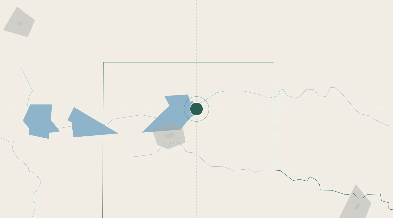
Borger
35.6667°, -101.3833°
12,964
Population
3
Transport functions
Transport Functions
Rail
Road
Multimodal
Hub Profile
Place type
Populated place
Region
Texas
Population
12,964
Time zone
America/Chicago
Elevation
938 m
Location
Nearby Logistics Neighbours
Cities
- 1Panhandle, Carson35 km
- 2Sunray55 km
- 3Cactus (Moore County)64 km
- 4Etter67 km
- 5Zita74 km
Ports
- 1Deer Park868 km
- 2Houston871 km
- 3Pasadena878 km
- 4Baytown889 km
- 5Port Lavaca903 km
Airports
Trade Zones
- 1FTZ No. 252 Amarillo68 km
- 2FTZ No. 260 Lubbock238 km
- 3FTZ No. 261 Alexandria238 km
- 4FTZ No. 106 Oklahoma City350 km
- 5FTZ No. 161 Sedgwick County394 km
DatabookThe Record of Consolidated Knowledge
United States beyond logistics?