Medium airport · United States
Clovis Municipal AirportKCVN
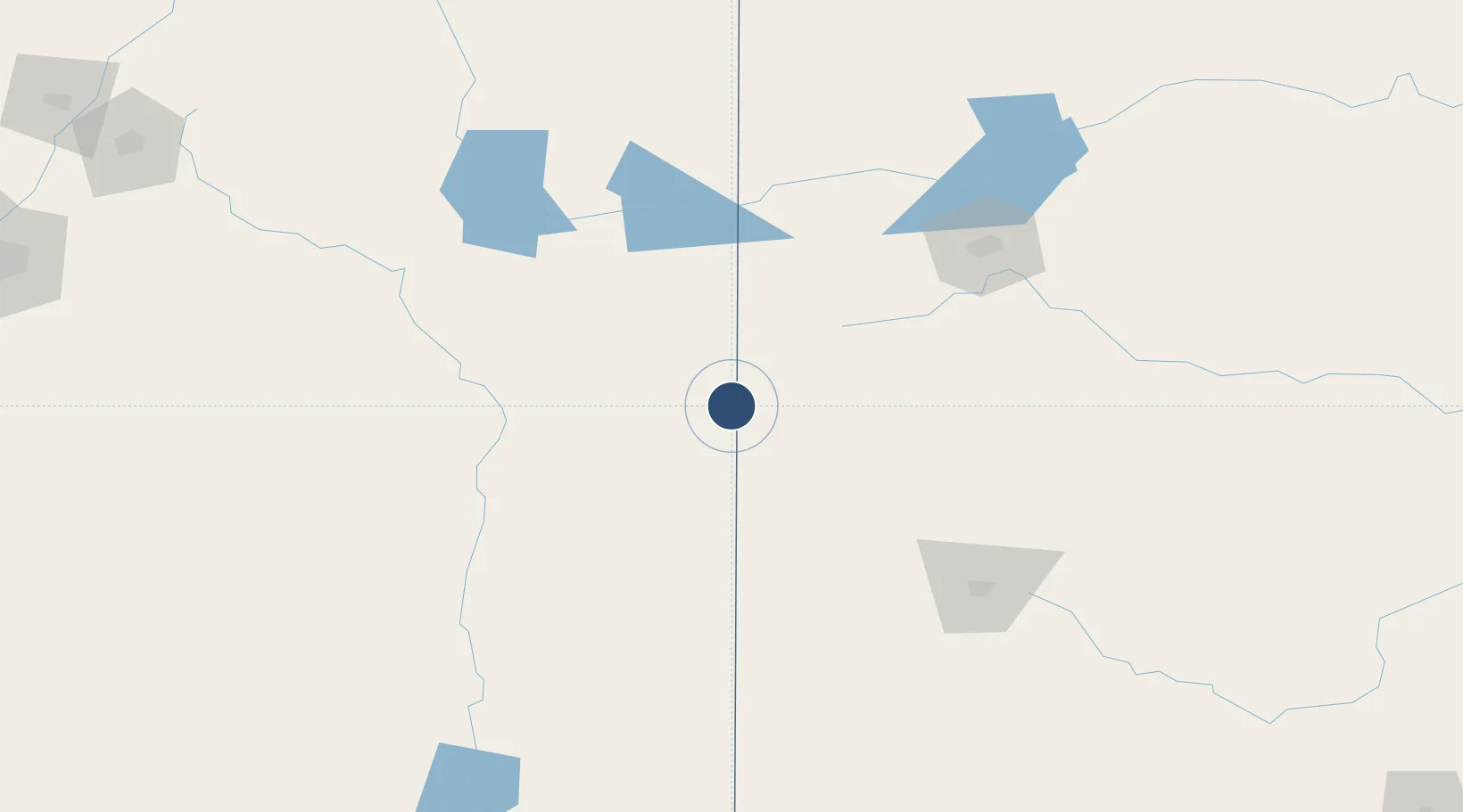
34.4266°, -103.0788°
7,200 ft
Longest runway
3
Runways
4,216 ft
Elevation
Runway & Layout

Radio Frequencies
AWOS
135.375 MHz
AWOS 3
CLD
119 MHz
CANNON CLNC DEL
APP
125.5 MHz
CANNON APP
DEP
125.5 MHz
CANNON DEP
RDO
122.5 MHz
ALBUQUERQUE RDO
UNIC
122.8 MHz
CTAF/UNICOM
Runways · 3
| Runway | Dimensions | Surface | True heading | Lit |
|---|---|---|---|---|
| 04/22 | 7,200 × 150ft | Asphalt | 046° | ✓ |
| 12/30 | 5,697 × 100ft | Asphalt | 130° | ✓ |
| 08/26 | 2,442 × 75ft | Graded earth | 090° | — |
Airport Specifications
IATA code
CVN
ICAO code
KCVN
Airport class
Medium airport
Scheduled service
Yes
Runway surface
Asphalt
Served city
Clovis
Location
Nearby Logistics Neighbours
Airports
Cities
- 1Elida75 km
- 2Springlake75 km
- 3San Jon78 km
- 4Morton84 km
- 5Hart90 km
Ports
- 1Port Lavaca890 km
- 2Deer Park896 km
- 3Houston899 km
- 4Pasadena907 km
- 5Palacios911 km
Trade Zones
- 1FTZ No. 260 Lubbock134 km
- 2FTZ No. 261 Alexandria134 km
- 3FTZ No. 252 Amarillo140 km
- 4FTZ No. 165 Midland279 km
- 5FTZ No. 166 Homestead279 km
DatabookThe Record of Consolidated Knowledge
United States beyond logistics?