UN/LOCODE hub · United States
USPA2
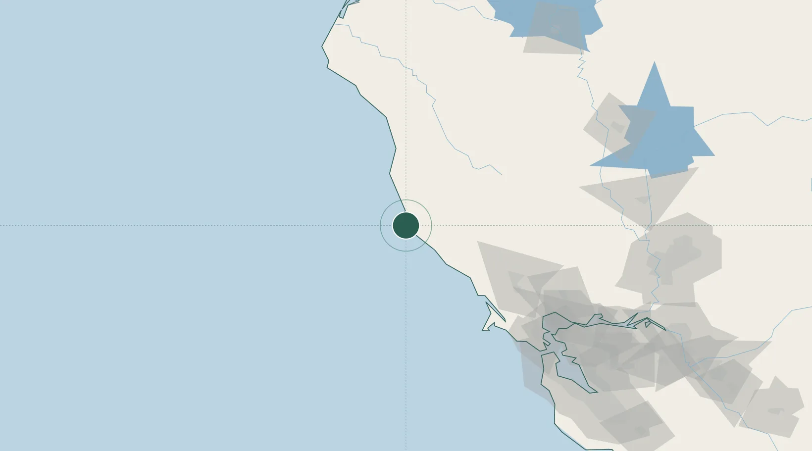
Point Arena
38.9000°, -123.6833°
453
Population
1
Transport functions
Transport Functions
Port
Hub Profile
Place type
Populated place
Region
California
Population
453
Time zone
America/Los_Angeles
Elevation
36 m
Location
Nearby Logistics Neighbours
Cities
- 1Philo27 km
- 2Hopland50 km
- 3Redwood Valley57 km
- 4Cloverdale59 km
- 5Geyserville71 km
Ports
- 1Fort Bragg62 km
- 2Bodega Bay84 km
- 3Point San Pablo150 km
- 4Pinole Point151 km
- 5Mare Island152 km
Airports
- 1Ukiah Municipal Airport49 km
- 2Charles M. Schulz Sonoma County Airport87 km
- 3Travis Air Force Base168 km
- 4Buchanan Field174 km
- 5San Francisco International Airport183 km
Trade Zones
- 1FTZ No. 003 San Francisco166 km
- 2FTZ No. 056 Oakland173 km
- 3FTZ No. 143 West Sacramento191 km
- 4FTZ No. 248 Eureka215 km
- 5FTZ No. 231 Stockton231 km
DatabookThe Record of Consolidated Knowledge
United States beyond logistics?