Transport Functions
Multimodal
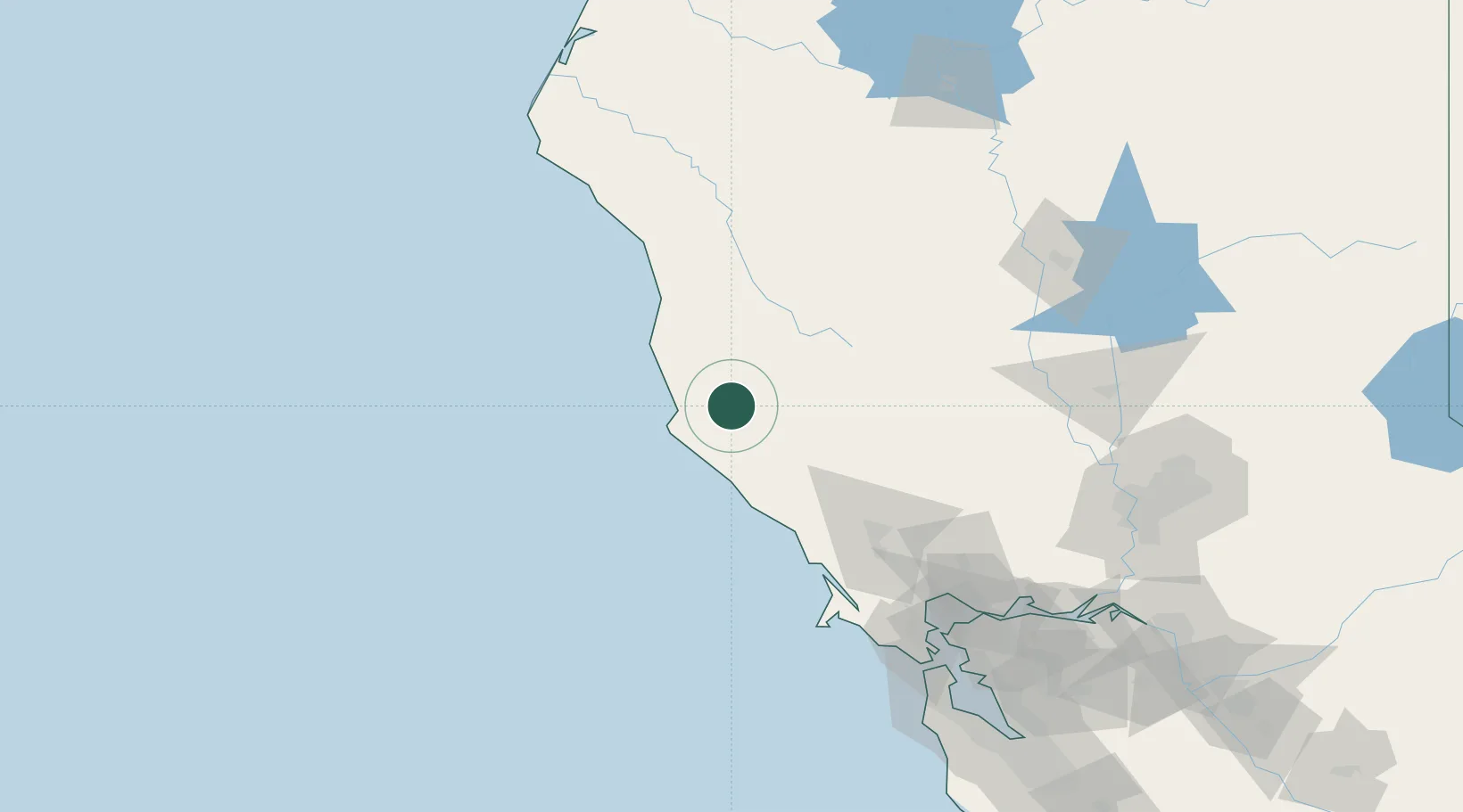
Hub Profile
Place type
Populated place
Region
California
Population
349
Time zone
America/Los_Angeles
Elevation
101 m
Location
Nearby Logistics Neighbours
Cities
- 1Point Arena27 km
- 2Hopland29 km
- 3Redwood Valley30 km
- 4Cloverdale46 km
- 5Kelseyville53 km
Ports
- 1Fort Bragg55 km
- 2Bodega Bay86 km
- 3Mare Island146 km
- 4Pinole Point148 km
- 5Point San Pablo149 km
Airports
- 1Ukiah Municipal Airport22 km
- 2Charles M. Schulz Sonoma County Airport81 km
- 3Travis Air Force Base157 km
- 4Red Bluff Municipal Airport159 km
- 5Yuba County Airport161 km
Trade Zones
- 1FTZ No. 003 San Francisco166 km
- 2FTZ No. 056 Oakland171 km
- 3FTZ No. 143 West Sacramento174 km
- 4FTZ No. 248 Eureka205 km
- 5FTZ No. 231 Stockton220 km
DatabookThe Record of Consolidated Knowledge
United States beyond logistics?